Basin countries United States Max. depth 133 ft (41 m) | Surface area 2,252 acres (9 km) Area 9.114 km² | |
 | ||
Location | ||
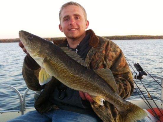
Kabekona Lake is a clear lake in northern Minnesota, United States, located 2.5 miles south of Laporte in Hubbard County. Kabekona has a surface area of 2,252 acres (9 km2) and a maximum depth of 133 feet (41 m). Kabekona (Gabekana in the Ojibwe language) means "End of the Trail" to dissuade others from venturing to the very clear lake. Kabekona is the 2nd clearest lake in Minnesota. This spring-fed lake is known for its loon birdlife. At one point it was thought to be the source of the Mississippi River. Among the most popular fishes in this lake are yellow perch, bass, northern pike, and walleye. Kabekona Lake was formerly known as "Friendship Springs".
Map of Kabekona Lake, Minnesota 56461, USA
References
Kabekona Lake Wikipedia(Text) CC BY-SA
