Country Burma | Elevation 140 m | |
 | ||
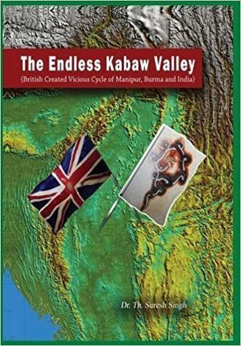
Congress gave kabaw valley to myanmar bjp
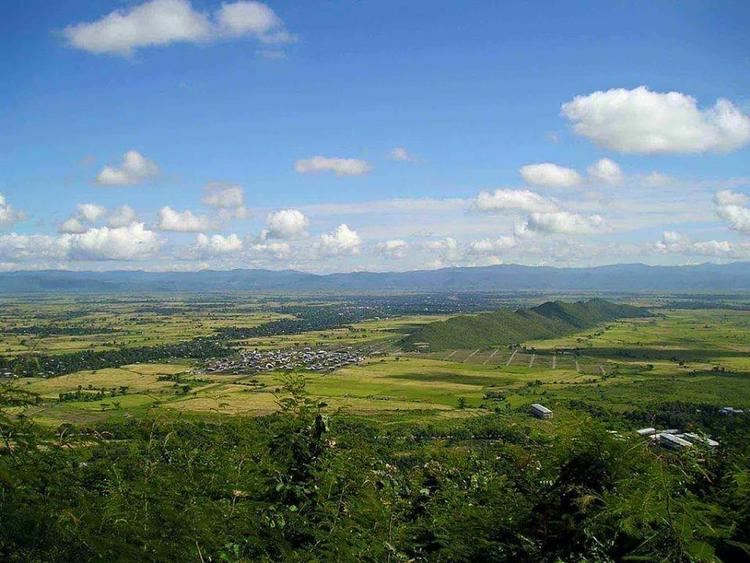
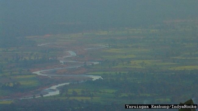
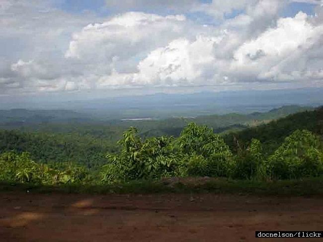
The Kabaw Valley is a highland valley in northern Burma (Myanmar), western Sagaing division. The valley is the home of a number of ethnic minorities including the Meitei (Kathe and Paona), the Zo, the Mizo, the Kadu and the Kanan.
Contents
History
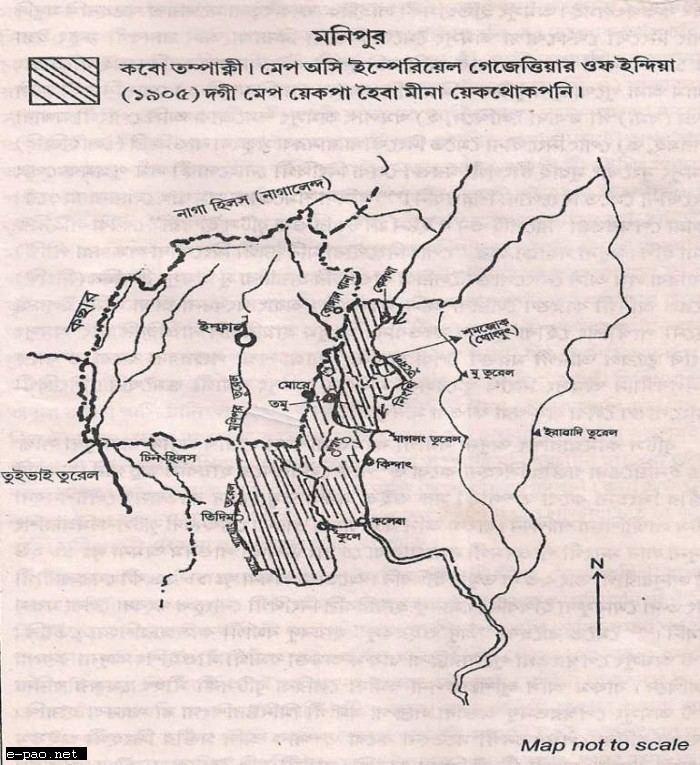
Kabaw valley historically was the border region between Burma and the Manipur Kingdom ( Earlier known as Kangleipak or Meitrabak , it was only after the reign of King Pamheiba aka Garib Niwas who changed everything about Meitei society). King Khomba (1432–1467) of Kangleipak or Meitrabak (Manipur) Kingdom was the "Conqueror of Tamu" at present Myanmar border town with present Manipur territorial boundary under India with Myanmar. King Kiyamba (1467–1508) son of King Khomba was known as the "Conqueror of Kabaw Valley". King Kyamba of Manipur along with his friend Chaopha Khe Khomba, the king of Pong (Shan Kingdom), conquered Kyang, a Shan kingdom in the Kabow Valley of present Myanmar. It first came under Burmese rule in 1560 when Toungoo Dynasty invaded the border valley of Kangleipak Kingdom. Many Shans peoples came in Manipur unable to defend themselves from Burmese and Chinese invader. King Khagemba (1597–1652) was known as the "Conqueror of the Chinese" (khagi: Chinese and Ngamba: conqueror). He consolidated and expanded his father's kingdom of Meitrabak, later successfully defending it from foreign invaders such as the Muslims, the Kachari and the Awas. Everything was recorded in Meitei sacred book "The Puyas" known as Cheitharol Kumbaba, which has started recording from 33AD. But after the reign of King Khagemba reform Cheitharol Kumbaba by adding the months in which the event recorded took place making the date more accurate. King Charairongba (1697–1709) reign began the transition period from traditional Meitei culture to a Hinduised Meitei society. There were continual trade contacts and social relationships between Manipur and Burma. In 1702, the Toongoo dynasty of Awa (Burma) sent emissaries asking for the hand of a Meitei Princess. Charirongba gave his daughter Chakpa Makhao Ngambi in marriage to the Burmese King. He constructed several temples for Meitei deities such as Panthoibi, Sanamahi Laisang (God Place like Temple Church Mosque Gurudwara), which is today converted in Buddhist temples. King Pamheiba (1709-1748) of Manipur Kingdom rise to prominence as a military conqueror can be divided into three phases. The first phase (1710–17) focused on internal consolidation of hill tribes. Phase two (1728–33) involved war against the Burmese kingdom of Awa, and the third and final phase (1745–48) saw a war against Tripura in the northeast. As a result, Pamheiba extended his kingdom from the Kabow Valley, to the east as far as Nongnang (Cachar) and Takhel (Tripura) in the west. Starting in 1724, the King Pamheiba began frequent raids of Upper Burma until 1749. The Konbaung Dynasty recovered the Kabaw valley in 1756. In 1758, the Burmese king Alaungpaya invaded Manipur. In 1759, King Maramba aka Gourashyam (1953-1958) gave up the throne in favour of his brother Chingthang Khomba aka Bhagayachandra who restored normalcy in the kingdom and tried to regain the lost glory of Meeteileipak/Kangleipak. In 1764, the new Burmese king Hsinbyushin invaded Manipur again through the Kabaw Valley. The Meitei force were defeated at Tamu and the king fled to the Ahom kingdom in Assam. He regained the throne of Kangleipak in 1768 with help of Ahom king Rajeshwar and went on to rule for more than 30 years, signing a treaty with East India Company in 1762. Manipur remained a rebellion-prone tributary, prompting the Burmese to send expeditions in 1764–1765, 1768–1770, and 1775–1782. Manipur again became a Burmese tributary in 1814, and was annexed in 1819 after a rebellion. There were a number of wars during this era between the Manipuris, the Burmese and the British. With the help from the Burmese kingdom of Awa, Marjit invaded Manipur in 1813 where he defeated his brother King Chaurajit (1803-1813). He then ascended the throne in 1813 and ruled for six years (1813–1819). The new king of Awa, Bagyidaw, invited King Marjit of Manipur to attend his coronation ceremony and to pay homage to him. King Marjit refused to attend the coronation, which offended the Burmese king who then sent a large force under the command of General Maha Bandula to humble Marjit. Marjit was defeated and fled to Cachar. Meitrabak was then brought under the rule of Awa for the seven years between 1819 and 1826, which is known as Chahi Taret Kuntakpa in the history of Meitrabak. The flight of King Marjit from Meitrabak and the conquest by Awa in 1819 marks the end of the mediaeval period in the history of Meitrabak or Manipur. In the early nineteenth century, after being dislodged from Meitrabak, Manipur princes made Cachar a springboard for the reconquest of the territory. In 1819, three brothers occupied Cachar Kingdom and drove King Govinda Chandra out to Sylhet in present Bangladesh. The kingdom of Cachar, divided between Govinda Chandra and Chaurajit in 1818, was repartitioned after the flight of Govind Chandra among the three Meitrabak princes. King Chaurajit got the eastern portion of Cachar bordering Meitrabak which was ruled from Sonai. King Gambhir Singh was given the land west of Tillain hill and his headquarters was at Gumrah, King Marjit Singh ruled Hailakandi from Jhapirbond. King Gambhir Singh (1826–1834) with the 500 strong Meetei Levy and with help from the British East India Company, Gambhir Singh expelled the Burmese of Awa from Meitrabak beyond the Ningthi Turel (Chindwin River). He ruled the country from Langthabal and died on 9 January 1834 to be succeeded by his infant son Chandrakirti / Ningthem Pishak (1834–1844).
After the First Anglo-Burmese War (1824–1826), Burma ceded Manipur to the British but the exact border remained in dispute. The British claimed the entire Kabaw valley. However, in 1830, the British, with the assistance of Henry Burney, agreed that Kabaw valley was not part of historical Manipur, and redrew the border in favor of the Burmese. Nonetheless, some in Manipur still claim that the Kabaw Valley belongs in Manipur. The treaty of yadanbo make sure that Burmese King must give Kabaw valley tax to Manipur King. If Burmese King fail to give tax to Manipur King, Kabaw valley can't be use by Burmese. Manipur was annexed by Indian union in 1949 just two year after getting independence from British rule for 57 years (1891-1947). In 1952 India first Prime Minister Jawaharlal Nehru completely gifted the Kabaw valley to Burmese government as a token of peace treaty. Whereas in 1950 a revolutionary leader from Manipur named Hijam Irwat visited Burma and negotiate the Burmese internal army political fraction. Where they agreed to stop paying tax to Manipur government and let Manipur have Kabaw valley by its people.
According to Indian sources, the Kabaw Valley is the site of a large training camp for the People's Revolutionary Party of Kangleipak.
Communities
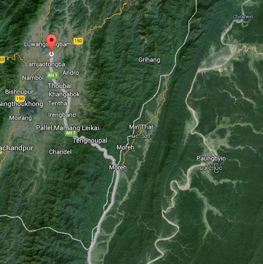
At the head, the north end, of the valley lies the Manipur town of Humine, with the first Burmese town being Zedi.