
Time zone EET (UTC+2) Licence plate 52 Elevation 701 m District area 74.59 km² Area code 0452 | Postal code 52xxx Climate Cfb Area 75 km² Local time Friday 2:34 PM | |
 | ||
Weather 11°C, Wind SW at 6 km/h, 52% Humidity | ||
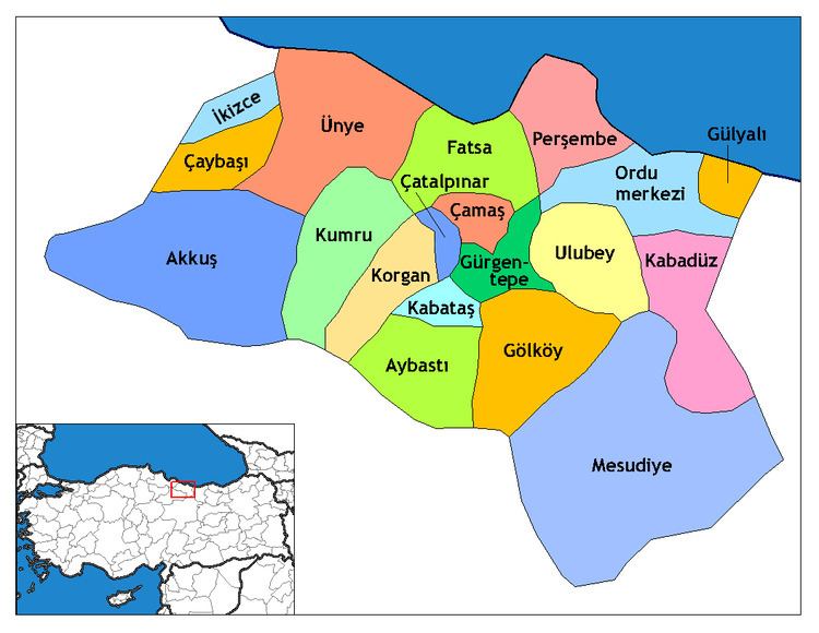
Kabataş, formerly Karay, is a town and district of Ordu Province in the Black Sea region of Turkey. According to the 2000 census, population of the district is 20,644 of which 9,211 live in the town of Kabataş. The district covers an area of 75 km2 (29 sq mi), and the town lies at an elevation of 701 m (2,300 ft).
Map of Kabata%C5%9F, Merkez Mahallesi, 52520 Kabata%C5%9F%2FOrdu, Turkey
Formerly the village of Karay, Kabataş is in the Canik Mountains, 40 km inland from the Black Sea coast. The area was conquered by the Anatolian beylik of Hacı Emiroğulları in 1380.
References
Kabataş, Ordu Wikipedia(Text) CC BY-SA