
Elevation 1,200 m | Time zone EST Local time Friday 2:24 PM | |
 | ||
Weather 28°C, Wind SE at 18 km/h, 56% Humidity University | ||
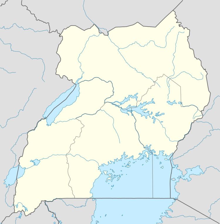
Location
Kabamba is located approximately 52 kilometres (32 mi), by road, southwest of Mubende, the location of the district headquarters. Its location lies close to the northern banks of River Katonga, where it intersects with Villa Road, approximately 190 kilometres (120 mi), west of Kampala, the capital of Uganda and the largest city in that country. The coordinates of Kabamba are:0°15'00.0"N, 31°11'06.0"E (Latitude:0.2500; Longitude:31.1850).
Population
At this time the human population of Kabamba is not publicly known.
Points of interest
The following points of interest lie in or near Kabamba:
References
Kabamba, Uganda Wikipedia(Text) CC BY-SA