
Municipality Kaag en Braassem Local time Friday 11:30 AM | Population 328 | |
 | ||
Weather 8°C, Wind W at 27 km/h, 69% Humidity | ||
symphony new feadship101 mtr super mega yacht royal van lent de kaag netherlands
De Kaag is a village in the Dutch province of South Holland. It is a part of the municipality of Kaag en Braassem, and lies about 8 kilometres (5.0 miles) northeast of Leiden.
Contents
- symphony new feadship101 mtr super mega yacht royal van lent de kaag netherlands
- Map of Kaag Netherlands
- References
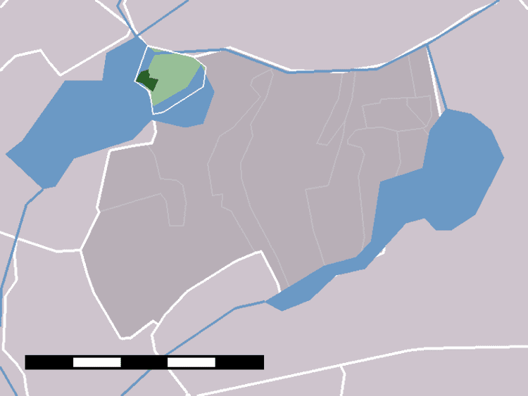
Map of Kaag, Netherlands
De Kaag lies on an island, Kagereiland, in a lake system called the Kaag Lakes (Kagerplassen). To reach De Kaag, a ferry is taken from Buitenkaag.
De Kaag is also part of an area called the Duin- en Bollenstreek ("Dune and Bulb Region").
The town is conventionally referred to as "De Kaag", but the name reported on both English and Dutch maps is just "Kaag".
In 2001, the village of De Kaag had 328 inhabitants. The built-up area of the town was 0.09 square kilometres (22 acres), and contained 138 residences. The larger statistical district "De Kaag" has a population of around 440.
The village is first mentioned in 1308, called "Kaghe", meaning "lands outside the dike". Until the end of the 16th century De Kaag was the largest settlement in the Alkemade area.