
Elevation −1 m (−3 ft) Area code 0172, 071 | Established 1 January 2009 Time zone CET (UTC+1) Area 72.28 km² Local time Friday 11:30 AM | |
 | ||
Postcode 2355, 2370–2377, 2450–2451, 2465, 2480–2481 Weather 8°C, Wind W at 29 km/h, 67% Humidity | ||
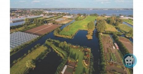
Kaag en Braassem is a municipality in the western Netherlands, in the province of South Holland. It was formed on 1 January 2009, through the merger of Alkemade and Jacobswoude.
Map of Kaag en Braassem, Netherlands
Kaag en Braassem consists of 10 towns: Hoogmade, Kaag, Leimuiden, Nieuwe Wetering, Oud-Ade, Oude Wetering, Rijnsaterwoude, Rijpwetering, Roelofarendsveen, and Woubrugge. In addition, there are 5 hamlets: Bilderdam, Heimansbuurt, Ofwegen, Vriezekoop en Zevenhuizen.
Dutch topographic map of the municipality of Kaag en Braassem, June 2015
References
Kaag en Braassem Wikipedia(Text) CC BY-SA