
Existed: 1932 – present Constructed 1932 | Length 134.2 km | |
 | ||
Counties | ||
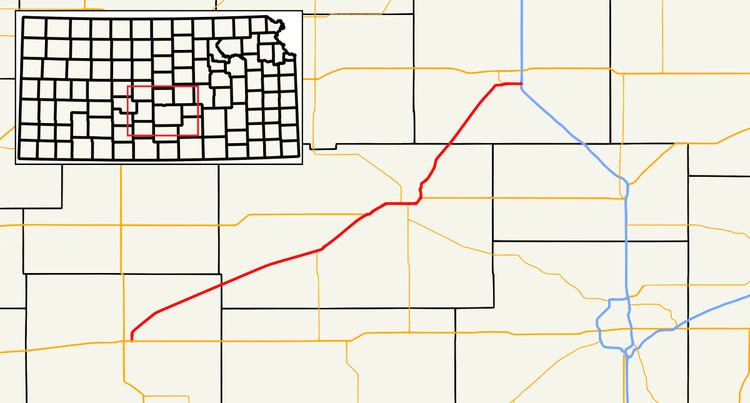
K-61 is a Kansas state highway originating at US-54 and US-400 on the east side of Pratt, and ends south of McPherson at I-135 and US-81. Signed as a north–south highway, K-61 is a diagonal highway running southwest and northeast. K-61 is 83.4 miles (134.2 km) long.
Contents
Map of KS-61, Kansas, USA
Route description
K-61 passes through the towns of Preston, Turon, Langdon (unincorporated) and Partridge, while paralleling a line of the Union Pacific Railroad, then beginning a six-mile (10 km) concurrency with US-50. It shares a short concurrency with K-14 and K-96 near South Hutchinson.
After breaking to the northeast from US-50, K-61 passes through the east side of Hutchinson (Where it is signed locally as the Ken Kennedy Freeway). It bypasses Medora (unincorporated), Inman, and Groveland before ending at I-135 and US-81 south of McPherson.
Its last two miles share a "wrong-way" concurrency with Business US-81.
K-61 is a two-lane highway from its south end until it meets US-50, and a four-lane highway for the rest of its route.
It has controlled access interchanges (with US-50) at North K-96, west of Hutchinson; South K-96, also signed To K-17 in South Hutchinson. After breaking away from US-50, K-61 has controlled access interchanges at Avenue A in Hutchinson, 56th Avenue in Hutchinson, 85th Avenue/Medora Road north of Hutchinson, Cherokee Road in Inman, and K-153, Spur K-153 and Business US-81 all in McPherson.
History
K-61 was commissioned by 1932. It appears on the 1932 state highway map. K-61 originally ended in Hutchinson at US-50. Sometime between 1956 and 1962, K-61 was extended on a previous routing of K-17 between Hutchinson and McPherson.
Four-lane expansion
In a project lasting several years, the Kansas Department of Transportation turned the northern part of K-61 from Hutchinson to McPherson into a four-lane expressway. Some intersections were changed to controlled-access interchanges, and the number of at-grade intersections was reduced. The original route went through Medora and Inman, but the new route bypasses both, west of its original route. As of August 2012 all lanes are open to traffic. The new section of the highway has been designated the John Neal Memorial Highway in memory of a major advocate of the project.