
Length 23.52 km | ||
 | ||
Counties | ||
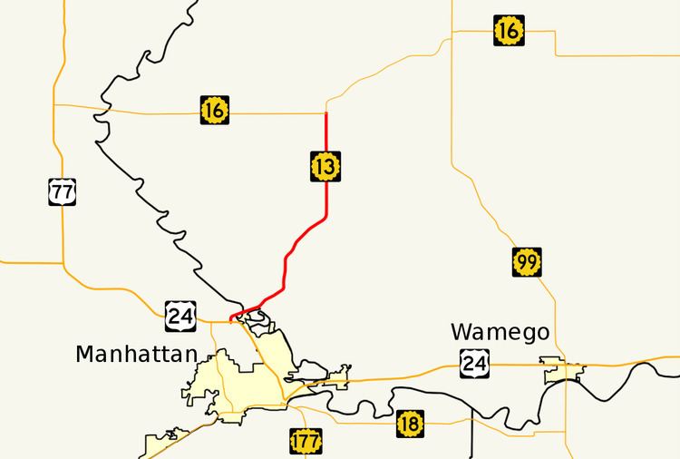
K-13 is a 14.62-mile-long (23.53 km) state highway in the northeastern part of the US state of Kansas. It connects Manhattan to K-16, and serves as the only northeasterly route out of Manhattan. The majority of the highway is exclusively in Pottawatomie County, with less than a mile of it existing in Riley County. The first two miles (3.2 km) traverse Tuttle Creek State Park, and crosses the Tuttle Creek Lake dam.
History
K-13 was once much longer, connecting Manhattan to El Dorado. In 1965, K-177 took over this portion. There was also a former alignment on the west side of the river (eastern Riley county line) before the creation of the lake that served towns before they had been flooded by the dam project.
References
K-13 (Kansas highway) Wikipedia(Text) CC BY-SA