
Country United States County Pottawatomie ZIP code 66426 Elevation 449 m | State Kansas Time zone Central (CST) (UTC-6) Area code(s) 785 Local time Wednesday 5:32 AM | |
 | ||
Weather -4°C, Wind E at 6 km/h, 80% Humidity | ||
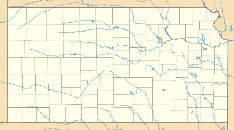
Fostoria is an unincorporated community in Pottawatomie County, Kansas, United States.
Contents
Map of Fostoria, KS 66549, USA
Fostoria is 6 miles (9.7 km) east of Olsburg. Fostoria has a post office with ZIP code 66426.
History
The first post office in Fostoria was established in 1884.
Climate
The climate in this area is characterized by hot, humid summers and generally mild to cool winters. According to the Köppen Climate Classification system, Fostoria has a humid subtropical climate, abbreviated "Cfa" on climate maps.
References
Fostoria, Kansas Wikipedia(Text) CC BY-SA