
Area 137.1 km² Local time Monday 9:01 AM | Population 3,879 (1 Oct 2010) | |
 | ||
Time zone Japan Standard Time (UTC+9) City hall address Weather 6°C, Wind N at 11 km/h, 55% Humidity | ||
Sleeping in temple kongo sanmaiin koyasan japan
Kōya (高野町, Kōya-chō) is a town located on a plateau atop Mt. Koya in Ito District, Wakayama Prefecture, Japan. The town is known as the headquarters of the Shingon sect of Japanese Buddhism.
Contents
- Sleeping in temple kongo sanmaiin koyasan japan
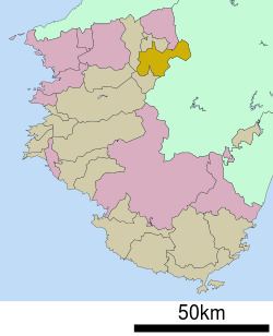
- Map of Koya Ito District Wakayama Prefecture Japan
- References
Map of Koya, Ito District, Wakayama Prefecture, Japan
As of October 1, 2010, the town has an estimated population of 3,879 and a density of 28.30 persons per km². The total area is 137.08 km².
References
Kōya, Wakayama Wikipedia(Text) CC BY-SA