
Local time Friday 10:56 AM | University Koyasan University | |
 | ||
Weather 6°C, Wind NW at 14 km/h, 62% Humidity Points of interest Mount Kōya, Kongōbu‑ji, Niutsuhime Shrine, Okunoin, Koyasan Reihokan Museum | ||
Ito District (伊都郡, Ito-gun) is a district located in Wakayama Prefecture, Japan.
Contents
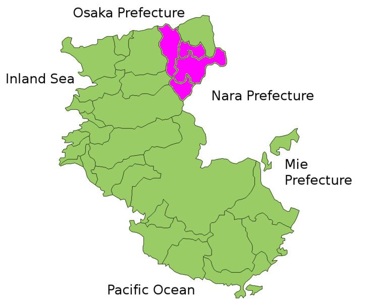
Map of Ito District, Wakayama Prefecture, Japan
As of September 1, 2008, the district has an estimated population of 28,171 and a density of 84.6 persons/km². The total area is 332.93 km².
Towns and villages
Timeline
References
Ito District, Wakayama Wikipedia(Text) CC BY-SA