
Subregion Kırıkkale Population 221,876 (2010) Area code 386 Team Kırşehirspor | Region Central Anatolia Vehicle registration 40 University Ahi Evran University | |
 | ||
Points of interest Amsterdam Olimpik Yüzme H, Kaman‑Kalehöyük, Kalehöyük Arkeoloji Müzesi, Aşıkpaşa Karlı Çeşmesi | ||
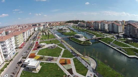
Kırşehir Province (Turkish: Kırşehir ili) is located in central Turkey, forming part of the central Anatolian region. It stands on the North Anatolian Fault, and is currently in an earthquake warning zone. The average elevation is approximately 985 meters above sea level. The provincial capital is Kırşehir.
Contents
Map of K%C4%B1r%C5%9Fehir, Turkey
It became a province in 1924. On 30 May 1954, it was accepted as a district of Nevşehir. Later, the towns of Kırşehir were divided between Ankara, Yozgat and Nevşehir. In 1957, Kırşehir became a province again.
Districts
Kırşehir province is divided into 7 districts (capital district in bold):
References
Kırşehir Province Wikipedia(Text) CC BY-SA