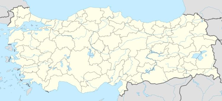
District Yayladağı Elevation 627 m Population 1,114 (2012) | Time zone EET (UTC+2) Local time Monday 1:50 AM | |
 | ||
Weather 8°C, Wind SW at 16 km/h, 85% Humidity | ||
Kışlak is a town in Hatay Province, Turkey
Contents
Map of K%C4%B1%C5%9Flak Mahallesi, 31560 Yaylada%C4%9F%C4%B1%2FHatay, Turkey
Geography
Kışlak is a part of Yayladağı district of Hatay Province at 35°58′N 36°9′E . Distance to Yayladağı is 18 kilometres (11 mi) and to Antakya (administrative center of Hatay Province) is 35 kilometres (22 mi). The population was 1114 as of 2012.
History
There are traces of human habitation dated upper Palaeolithic around Kışlak. Akkadian Empire, Yamhad Kingdom, Hittite Empire, Egyptian Kingdom, Achaemenid Empire, Ptolemaic dynasty of Egypt, Roman Empire, Byzantine Empire, Ummayad Caliphate, Seljuk Turks, Crusades, Egyptian Mamluks and Ottoman Turks ruled the area around Kışlak. The first documented settlement in Kışlak dates back to 300 years ago during Ottoman rule. Between 1918 and 1938 the town was under French Mandate. In 1939 together with the rest of Hatay Republic it merged to Turkey. In 1998 Kışlak was declared a seat of township.
Economy
Cereal, tobacco and olive are the main agricultural products of Kışlak. There is also an olive oil press in the town. Nuts, figs and pomegranate are also produced.
