
Car plates NKE | Area 1,213 km² | |
 | ||
Gminas Total 6 (incl. 1 urban)KętrzynGmina BarcianyGmina KętrzynGmina KorszeGmina ReszelGmina Srokowo Points of interest Wolf's Lair, Reszel Castle, Burg Rastenburg, Sanktuarium Maryjne Święta Li, Muzeum im Wojciech | ||
Kętrzyn County (Polish: powiat kętrzyński) is a unit of territorial administration and local government (powiat) in Warmian-Masurian Voivodeship, northern Poland, on the border with Russia. It came into being on January 1, 1999, as a result of the Polish local government reforms passed in 1998. Its administrative seat and largest town is Kętrzyn, which lies 88 kilometres (55 mi) north-east of the regional capital Olsztyn. The county also contains the towns of Reszel, lying 16 km (10 mi) west of Kętrzyn, and Korsze, 19 km (12 mi) north-west of Kętrzyn.
Contents
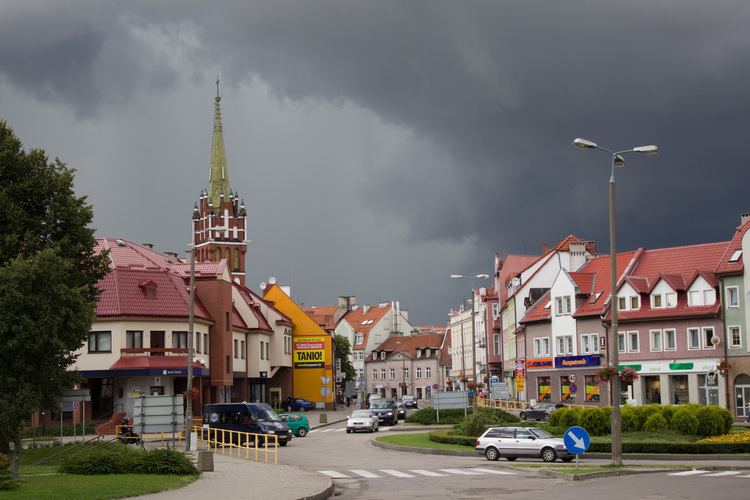
Map of K%C4%99trzyn County, Poland
The county covers an area of 1,212.97 square kilometres (468.3 sq mi). As of 2006 its total population is 66,165, out of which the population of Kętrzyn is 28,000, that of Reszel is 5,098, that of Korsze is 4,632, and the rural population is 28,435.
Neighbouring counties
Kętrzyn County is bordered by Węgorzewo County and Giżycko County to the east, Mrągowo County to the south, and Olsztyn County and Bartoszyce County to the west. It also borders Russia (Kaliningrad Oblast) to the north.
Administrative division
The county is subdivided into six gminas (one urban, two urban-rural and three rural). These are listed in the following table, in descending order of population.