
Peak Chok-Tal Peak Length 280 km (170 mi) E-W | Elevation 4,771 m (15,653 ft) Width 32 km (20 mi) N-S | |
 | ||
Etymology in Kyrgyz and Kazakh meaning "adret mottled mountains" Countries Kyrgyzstan and Kazakhstan Similar Terskey Alatau, Lake Kaindy, Kolsai Lake, Kyrgyz Ala‑Too Range, Jeti‑Ögüz resort | ||
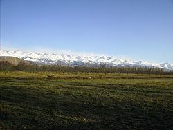
The Küngöy Ala-Too (Kyrgyz: Күңгөй Ала-Тоо, [küŋgöj alatoː]), also spelled Kyungei Alatoo, Kungey Ala-Too, and Kungey Alatau, is a range in the North Tien-Shan. Its length is about 280 km and it stretches from Boom Gorge to Kegen - Karkyrin valley. The highest point of the range is Peak Chok Tal (4770 m).
Map of Khrebet Kyungey-Alatau, Kyrgyzstan
References
Küngöy Ala-Too Range Wikipedia(Text) CC BY-SA