
Peak Karakol Peak Length 354 km (220 mi) E-W Country Kyrgyzstan | Elevation 5,216 m (17,113 ft) Width 40 km (25 mi) N-S State/Province Issyk-Kul Region | |
 | ||
Similar Küngöy Ala‑Too Range, Jeti‑Ögüz resort, Kyrgyz Ala‑Too Range, Issyk‑Kul, Altyn Arashan | ||
Arkars in terskey alatau
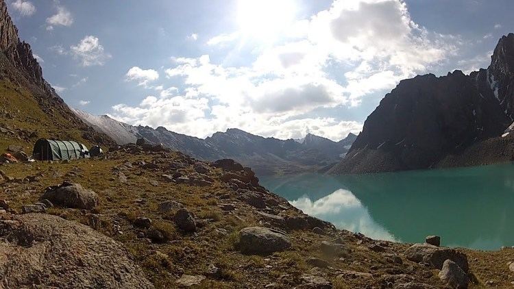
The Teskey Ala-Too or Terskey Ala-Too (Kyrgyz: Тескей Ала-Тоосу, [teskéj ɑlɑtoːsú]) is a mountain range in the Tian Shan mountains in Kyrgyzstan. It stretches south and southeast of Lake Issyk Kul, from the river Joon Aryk near Kochkor in the west to the far northeastern part of Kyrgyzstan. The length of the range is 354 km and the highest peak is Karakol Peak (5,216 m). Another high peak is Boris Yeltsin Peak (5,168 m).
Contents
- Arkars in terskey alatau
- Map of Khrebet Terskey Ala Too Kyrgyzstan
- Argali in terskey alatau
- Geology
- References
Map of Khrebet Terskey Ala-Too, Kyrgyzstan
Argali in terskey alatau
Geology
Terskey Ala-Too is composed of granites and granodiorites of Caledonian, and granites, metamorphic schists, quartzites, sandstones, and limestones of Paleozoic.
References
Terskey Alatau Wikipedia(Text) CC BY-SA