
District Klagenfurt-Land Area code 04220 Elevation 558 m Local time Sunday 9:36 PM | Time zone CET (UTC+1) Website www.koettmannsdorf.at Population 2,939 (1 Apr 2009) Postal code 9071 | |
 | ||
Weather 8°C, Wind SW at 5 km/h, 74% Humidity | ||
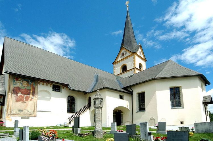
Köttmannsdorf (Slovene: Kotmara vas) is a town in the district of Klagenfurt-Land in the Austrian state of Carinthia.
Contents
Map of 9071 K%C3%B6ttmannsdorf, Austria
Geography
Köttmannsdorf lies southwest of Klagenfurt in the heights of the Sattnitz Mountains. The highest point in the municipality at 921 m is the Sabalahöhe in the west, and the lowest point the Ferlach Reservoir at 441 m. The Rekabach flows from west to east through the municipality.
Population
According to the 2001 census 6.4% of the population are Carinthian Slovenes.
References
Köttmannsdorf Wikipedia(Text) CC BY-SA