
Primary outflows Dahme-Umflutkanal Max. length 2,250 m (7,380 ft) Surface area 1.48 km (0.57 sq mi) Area 148 ha Width 1 km Inflow source Dahme Flood Relief Canal | Max. width 1 km (0.62 mi) Surface elevation 43 m Length 2.25 km Outflow location Dahme Flood Relief Canal | |
 | ||
Primary inflows | ||
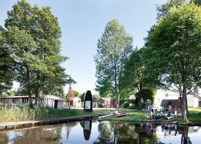
Köthener See is a lake in Landkreis Dahme-Spreewald, Brandenburg, Germany. It lies at an elevation of 43 m, and has a surface area of 1.48 km². It is located in the municipality of Märkisch Buchholz, Dahme-Spreewald district.
Map of K%C3%B6thener See, 15748 M%C3%A4rkisch Buchholz, Germany
References
Köthener See Wikipedia(Text) CC BY-SA