
Time zone CET/CEST (UTC+1/+2) Area 24.65 km² Population 805 (31 Dec 2008) Dialling code 033765 | Elevation 42 m (138 ft) Postal codes 15748 Local time Thursday 3:50 PM Postal code 15748 Municipal assoc. Schenkenländchen | |
 | ||
Weather 8°C, Wind NE at 10 km/h, 77% Humidity | ||
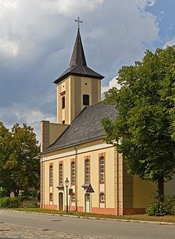
Märkisch Buchholz is a small town in the Dahme-Spreewald district, in Brandenburg, Germany. It is situated on the Dahme River, 20 km northwest of Lübben (Spreewald) and resp. 50 km southeast of Berlin.
Contents
Map of M%C3%A4rkisch Buchholz, Germany
Overview
The town is the smallest one in Brandenburg with town status. Founded in the 12th or 13th century the town's first historical mention dated on 13 August 1301, described as castrum et oppidum Buchholt. The town was heavily destroyed during the last day of World War II, due to strategic position at the Dahme river in Battle of Halbe. The federal highway B179 connect the town direct with Berlin.
References
Märkisch Buchholz Wikipedia(Text) CC BY-SA