
Primary inflows Max. width 1.508 km (0.937 mi) Surface elevation 62 m Mean depth 3.4 m | Primary outflows Havel Max. length 2.51 km (1.56 mi) Surface area 2.64 km (1.02 sq mi) Area 2.64 km² Length 2.51 km Inflow source Havel | |
 | ||
Similar Großer Priepertsee, Drewensee, Leppinsee, Wangnitzsee, Labussee | ||
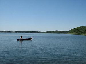
Käbelicksee is a lake in the Mecklenburgische Seenplatte district in Mecklenburg-Vorpommern, Germany.
Map of K%C3%A4belicksee, Kratzeburg, Germany
It is part of the Müritz National Park. At an elevation of 62.4 m, its surface area is 2.64 km².
References
Käbelicksee Wikipedia(Text) CC BY-SA