
- land 0.88 sq mi (2 km) - summer (DST) CDT (UTC-5) Local time Wednesday 11:34 AM Population 126 (2013) | - water 0.00 sq mi (0 km) Area 228 ha Postal code 62954 Area code 618 | |
 | ||
Weather -1°C, Wind NW at 13 km/h, 43% Humidity | ||
Junction is a village in Gallatin County, Illinois, United States. The population was 129 at the 2010 census.
Contents
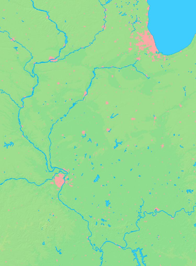
Map of Junction, IL, USA
Geography
Junction is located at the center of Gallatin County at 37°43′22″N 88°14′17″W (37.722726, -88.237973).
According to the 2010 census, Junction has a total area of 0.883 square miles (2.29 km2), of which 0.88 square miles (2.28 km2) (or 99.66%) is land and 0.003 square miles (0.01 km2) (or 0.34%) is water.
History
The Crenshaw House, better known as "The Old Slave House", is located at Junction, near the intersection of Illinois Route 13 and Route 1. A mansion atop Hickory Hill, the house was built in 1842 by John Crenshaw, who employed black slaves to work the nearby saline wells. Crenshaw also operated an underground railroad in reverse, capturing free blacks and selling them into slavery. The house is believed by some to be haunted, and a number of journalists and thrill seekers have attempted to spend nights in the house. The house was operated as a privately owned tourist attraction for a time until 1996. The cramped slave quarters in the attic could be viewed. The state of Illinois purchased the site in 2000, and local activists hope to see it opened as a historical site. The salt springs can be visited. They are on state land along the south bank of the Saline River, just east of the bridge on Route 1.
The low-lying town has been plagued by Ohio River floods in 1937 and again in 1997.
The Island Riffle variety of watermelon is a popular crop in the area.
Demographics
As of the census of 2000, there were 139 people, 66 households, and 43 families residing in the village. The population density was 156.7 people per square mile (60.3/km²). There were 75 housing units at an average density of 84.5 per square mile (32.5/km²). The racial makeup of the village was 96.40% White, 2.88% Native American and 0.72% Asian. Hispanic or Latino of any race were 2.88% of the population.
There were 66 households out of which 25.8% had children under the age of 18 living with them, 45.5% were married couples living together, 18.2% had a female householder with no husband present, and 34.8% were non-families. 33.3% of all households were made up of individuals and 19.7% had someone living alone who was 65 years of age or older. The average household size was 2.11 and the average family size was 2.65.
In the village, the population was spread out with 18.7% under the age of 18, 9.4% from 18 to 24, 24.5% from 25 to 44, 29.5% from 45 to 64, and 18.0% who were 65 years of age or older. The median age was 44 years. For every 100 females there were 80.5 males. For every 100 females age 18 and over, there were 73.8 males.
The median income for a household in the village was $33,750, and the median income for a family was $34,219. Males had a median income of $34,167 versus $27,083 for females. The per capita income for the village was $16,256. There were 3.8% of families and 11.1% of the population living below the poverty line, including no under eighteens and 41.4% of those over 64.