
Time zone NPT (UTC+5:45) Area 2,531 km² | Website www.ddcjumla.gov.np | |
 | ||
Region Mid-Western Development Region, Nepal | ||
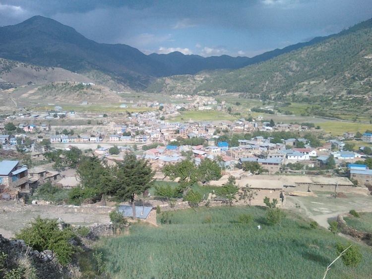
Rural nepali village jumla district
Jumla District (Nepali: जुम्ला जिल्ला Listen , a part of Province No. 6, is one of the seventy-five districts of Nepal. The district, with Jumla as its district headquarters, covers an area of 2,531 km² and had a population of 89,427 in 2001 and 108,921 in 2011.
Contents
- Rural nepali village jumla district
- Map of Jumla Nepal
- Towns and villages
- Before reunification
- Kings of Jumla
- References
Map of Jumla, Nepal
The origin of Nepali language is Sinja of Jumla. Therefore, the Nepali dialect "Khas Bhasa" is still spoken among the people in this region.
Towns and villages
Before reunification
The Jumla Kingdom was one of the many kingdoms that dotted Nepal before its reunification by King Prithvi Narayan Shah of Gorkha and later by his younger son Bahadur Shah. The kingdom was founded around 1404 when Baliraja, who married the daughter of the last ruler of the Yatse (Malla) Kingdom, succeeded his father-in-law. It was one of the most powerful kingdoms in western Nepal, being one of the 22 Baise principalities of the Karnali region which had once been part of the larger Yatse Kingdom. After centuries of intermittent warfare it appropriated the kingdom of Mustang in 1760. In the late 18th century the Jumla kingdom successfully defended itself against the first attack by King Prithivi Narayan Shah, and legend even has it that he got injured in the battle. Later, with the help of the kingdoms surrounding Jumla, Bahadur Shah attacked again and annexed Jumla for the Gorkha kings in 1789. The Jumla kings were Thakuris (Sijapati, Malla, Shahi) like the Gorkha Kings.
The Jumla Kingdom belonged to the more extensive pre-unification kingdoms in Nepal. At the height of its power it extended from Mustang in the east to present day Uttarakhand, a state in modern day India, territory that Kingdom of Nepal lost to the East India Company in 1816 during the partition of Nepal. The Jumla kings belonged to the Kalyana dynasty, linked to the Sisodia clan of Rajasthan, India. There have also been marriages between the Jumla royal family and the Shah's royal family of Nepal. The direct decedents of the erstwhile Jumla royal family include currently Lt. Gen (Retd) Vivek Kumar Shah, Nepali Film legend Nir Shah, Former Director General of Nepal Electricity Authority Harish Chandra Shah, DIGP (Retd) Sher Bahadur Shah and the current DIGP of Nepal Police, Surendra Bahadur Shah.