
Congressional district At-large Area 4,846 km² Population 2,016 (2013) Unemployment rate 3.3% (Apr 2015) | Founded 10 December 1920 Largest city Stanford | |
 | ||
Website www.co.judith-basin.mt.us Rivers Judith River, Ross Fork Creek, Surprise Creek | ||
Judith Basin County is a county in the U.S. state of Montana. As of the 2010 census, the population was 2,072. Its county seat is Stanford, Montana.
Contents
- Map of Judith Basin County MT USA
- History
- Geography
- Adjacent counties
- National protected area
- 2000 census
- 2010 census
- City
- Town
- Census designated place
- Unincorporated communities
- Ghost town
- References
Map of Judith Basin County, MT, USA
History
Judith Basin County was formed from western Fergus County, Montana and eastern Cascade County, Montana on December 10, 1920. In 1895, Yogo sapphires were discovered at Yogo Gulch, about 15 miles southwest of Utica, which at the time was in Fergus County.
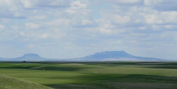
Geography
According to the U.S. Census Bureau, the county has a total area of 1,871 square miles (4,850 km2), of which 1,870 square miles (4,800 km2) is land and 0.8 square miles (2.1 km2) (0.04%) is water.
Adjacent counties
National protected area
2000 census
As of the census of 2000, there were 2,329 people, 951 households, and 661 families residing in the county. The population density was <1/km² (1/sq mi). There were 1,325 housing units at an average density of <1/km² (1/sq mi). The racial makeup of the county was 98.63% White, 0.04% Black or African American, 0.34% Native American, 0.09% Asian, 0.04% from other races, and 0.86% from two or more races. 0.56% of the population were Hispanic or Latino of any race. 27.1% were of German, 11.3% Norwegian, 10.0% Irish, 9.8% English and 8.7% American ancestry. 92.0% spoke English and 7.5% German as their first language. Many of the German-speaking residents of Judith Basin County are Hutterites.
There were 951 households out of which 30.00% had children under the age of 18 living with them, 62.70% were married couples living together, 4.30% had a female householder with no husband present, and 30.40% were non-families. 27.50% of all households were made up of individuals and 12.30% had someone living alone who was 65 years of age or older. The average household size was 2.45 and the average family size was 3.02.
In the county, the population was spread out with 26.80% under the age of 18, 4.60% from 18 to 24, 23.30% from 25 to 44, 28.20% from 45 to 64, and 17.20% who were 65 years of age or older. The median age was 42 years. For every 100 females there were 107.90 males. For every 100 females age 18 and over, there were 103.90 males.
The median income for a household in the county was $29,241, and the median income for a family was $34,243. Males had a median income of $21,789 versus $14,615 for females. The per capita income for the county was $14,291. About 16.30% of families and 21.10% of the population were below the poverty line, including 30.60% of those under age 18 and 13.30% of those age 65 or over.
2010 census
As of the 2010 United States Census, there were 2,072 people, 924 households, and 600 families residing in the county. The population density was 1.1 inhabitants per square mile (0.42/km2). There were 1,336 housing units at an average density of 0.7 per square mile (0.27/km2). The racial makeup of the county was 98.3% white, 0.8% American Indian, 0.1% Asian, 0.1% from other races, and 0.7% from two or more races. Those of Hispanic or Latino origin made up 1.2% of the population. In terms of ancestry, 30.9% were German, 16.7% were English, 16.1% were Irish, 10.3% were Norwegian, 6.7% were Czech, 5.0% were Danish, and 1.7% were American.
Of the 924 households, 24.0% had children under the age of 18 living with them, 55.7% were married couples living together, 5.2% had a female householder with no husband present, 35.1% were non-families, and 30.3% of all households were made up of individuals. The average household size was 2.24 and the average family size was 2.80. The median age was 48.3 years.
The median income for a household in the county was $41,473 and the median income for a family was $54,479. Males had a median income of $36,295 versus $29,750 for females. The per capita income for the county was $24,029. About 6.4% of families and 9.9% of the population were below the poverty line, including 8.9% of those under age 18 and 9.0% of those age 65 or over.