
Vehicle registration GU Area 10.61 km² Postal code 8111 Area code 03124 | Time zone CET (UTC+1) Elevation 380 m Population 5,451 (1 Apr 2009) Local time Wednesday 5:37 AM | |
 | ||
Website www.gemeinde-judendorf-strassengel.at Weather 3°C, Wind NW at 5 km/h, 77% Humidity | ||
Unterwegs judendorf stra engel gratwein andrea kramer
Judendorf-Straßengel is a former municipality in the district of Graz-Umgebung in the Austrian state of Styria. Since the 2015 Styria municipal structural reform, it is part of the municipality Gratwein-Straßengel.
Contents
- Unterwegs judendorf stra engel gratwein andrea kramer
- Map of Judendorf StraC39Fengel Austria
- Ein blick in die rehabilitationsklinik judendorf stra engel
- Geography
- History
- Sights
- Economy
- Tourism
- References
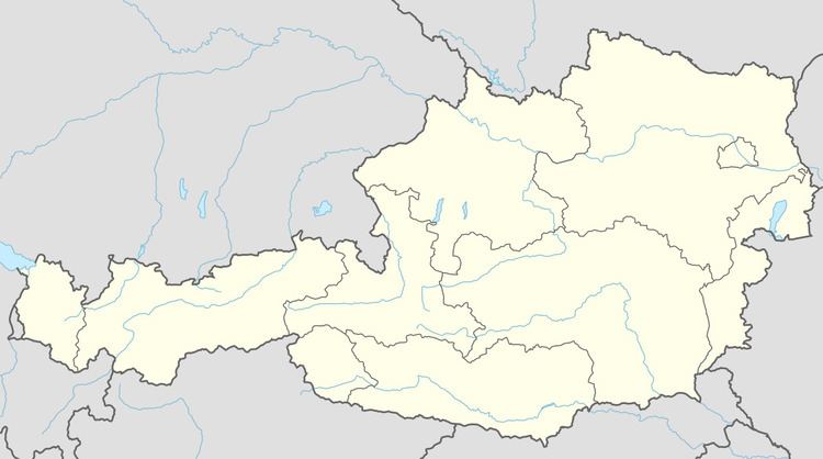
Map of Judendorf-Stra%C3%9Fengel, Austria
Ein blick in die rehabilitationsklinik judendorf stra engel
Geography
The town is located a few kilometres north of Graz on the right bank of the Mur river.
History
The town was first mentioned in the year AD 860 as Strazinolum.
Sights
The fourteenth century Gothic Pilgrimage Church Maria Straßengel that stands on a hill overlooking the town was constructed between 1346 and 1355, and contains an important high altar.
Economy
The town also has a rehab clinic, a chemical plant, and a punching tool factory.
Tourism
Straßengel attracts 23,774 overnight stays in tourism. Plankenwarth Castle is located nearby.
References
Judendorf-Straßengel Wikipedia(Text) CC BY-SA