Country United States Time zone Eastern (EST) (UTC-5) Zip code 40505 Area code 859 | Area 3.455 km² Population 2,940 (2000) | |
 | ||
Hotels Ramada Lexington North Hot, JSM Manage LLC, Ramada Inn Conferen, Ramada Inn | ||
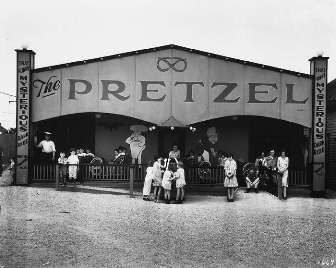
Joyland is a neighborhood in Northeast Lexington, Kentucky, United States. Its boundaries are I-75/ I-64 to the south, Paris Pike to the east, Russell Cave Road to the west, and the Lexington Urban Growth Boundary to the north. Joyland is the only north Lexington neighborhood to be located entirely north of I-75.
Contents
Map of Joyland, Lexington, KY 40505, USA
Neighborhood statistics
References
Joyland, Lexington Wikipedia(Text) CC BY-SA
