
Alternate name Joub Jannine Part of Settlement Condition ruins | Local time Tuesday 5:18 PM | |
 | ||
Weather 9°C, Wind W at 18 km/h, 88% Humidity | ||
Joub Jannine (Arabic: جب جنين / ALA-LC: Jub Jannīn) is located in the Beqaa Valley in Lebanon.
Contents
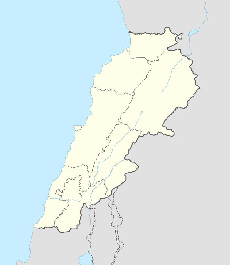
Map of Joub Jannine, Lebanon
Joub Jannine is the center of the Western Beqaa District, hosting the Serail, which is a main governmental building serving the area. Joub Jannine is surrounded by a number of villages. To the south there is the village of Lala, Ghazze to the north, Kamid al lawz to the east, and Kefraya, known for its wine grape vineyards, to the west.
Archaeological sites
Joub Jannine I is a small surface site brought to the surface through erosional activity of a stream. It is 8 km northeast of Qaraoun in a range of foothills, 1 km north of a small village called Jebel Gharbi, between two tracks, west of cote 878 by about 200 m. The site was found by Dubertret with a collection made by Henri Fleisch and Maurice Tallon that is now in the Museum of Lebanese Prehistory at the Saint Joseph University. Flint tools found on the site included bifaces and rough pieces that were suggested to date to the Acheulean.
Joub Jannine II was first discovered by M. Billaux in 1957. It was described by Henri Fleisch as Neolithic in 1960. It is located on the right bank of the Litani River northwest of the village, 100 m from the river and 100 m east of cote 861. An abundant amount of flint was collected including nine hundred and forty four tools and one hundred and fifty two cores. This was first reported to be a paleolithic industry by Lorraine Copeland and Peter Wescombe. A highly specialized archaeological industry of striking spheroid and trihedral flint tools was found at the site and published by Fleisch in 1960, termed by Copeland and Wescombe as the Trihedral Neolithic. Little has been said about this industry or the ancient people that would have used these huge rock mauls (i.e. hammers) in this area, at the dawn of agriculture, or what they would have been using them for.
The material from Joub Jannine II was described by Lorraine Copeland as
Joub Jannine III (The Gardens) is a Heavy Neolithic site of the Qaraoun culture, 1.5 kilometres (0.93 mi) south of the village along steep slopes and around the houses. It was discovered by Henri Fleisch and Maurice Tallon in 1957. An abundant amount of material was recovered, which included several large flakes and blades along with a finer series of rabots and scrapers that is now held in the Museum of Lebanese Prehistory at the Saint Joseph University. No large bifaces were found at this site. The site may extend through the areas now turned into gardens. It was covered in crops in 1966.