
Surface elevation 1,879 m Length 17.4 km | Primary inflows Basin countries United States Area 13.36 km² Width 1.6 km Outflow location Provo River | |
 | ||
Gill netting at jordanelle reservoir 2012
Jordanelle Reservoir is a reservoir in Wasatch County, Utah, United States, just north of Heber City.
Contents
- Gill netting at jordanelle reservoir 2012
- Map of Jordanelle Reservoir Utah USA
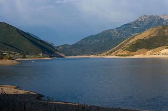
- Jordanelle reservoir state park 2016
- Jordanelle State ParkEdit
- References
Map of Jordanelle Reservoir, Utah, USA
Jordanelle Reservoir is fed and drained primarily by the Provo River, and is impounded by the Jordanelle Dam, an Earthen dam. The construction of the dam resulted in the reroutings of U.S. Route 40 and U.S. Route 189 over the summit of nearby mountains and the submergence of the towns of Keetley and Hailstone.
Jordanelle reservoir state park 2016
Jordanelle State ParkEdit
Construction of the dam started one June 27, 1987 and was completed on April 12, 1993. Jordanelle State Park opened on June 29, 1995. Construction of the dam was challenged by several groups. Conservationists wanted to maintain the natural state of the Provo River. Because of this, a large area at the foot of the dam was converted into an artificial wetland. Other groups were concerned that the site was geologically flawed, citing the catastrophic failure of the Teton Dam in Idaho in 1976. Mining interests in nearby Park City were also concerned, fearing that the reservoir would flood sections of the Ontario silver mine.
During the summer months Jordanelle is a destination for triathletes and runners alike. Because of the State Park's rugged terrain on the Rock Cliff side, sponsors host sprint triathlons in addition to 10-kilometre (6.2 mi) races and ultra marathons.