
Founded 1961 Time zone PST (UTC+8) Population 7,417 (2015) Dialling code 42 | Barangays Area 56.65 km² | |
 | ||
Region CALABARZON (Region IV-A) | ||
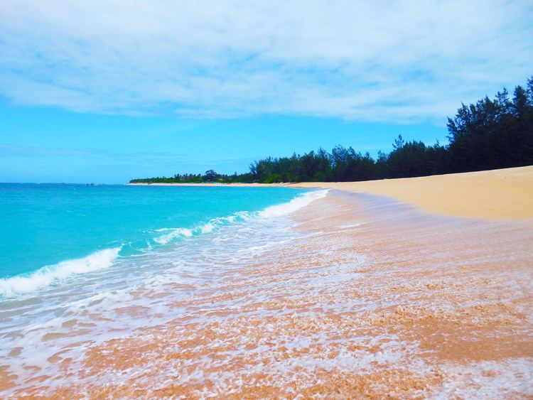
A lone traveler in jomalig island
Jomalig is a fifth class island municipality on the eastern part of the province of Quezon, Philippines. According to the 2015 census, it has a population of 7,417 persons, making it the least populated municipality in the province.
Contents
- A lone traveler in jomalig island
- Map of Jomalig Quezon Philippines
- Geography
- Barangays
- History
- References
Map of Jomalig, Quezon, Philippines
Geography
Jomalig Island is about 75 nautical miles (139 km) southeast of Polillo Islands. Mostly, the land of Jomalig is cultivated for agricultural land use. Most of the inhabitants of this island depend on coconut products, rice, fish and other root crops. Considered as one of the smallest and farthest island municipalities of Quezon Province, its land area is at 5,665 hectares (14,000 acres). Some of its land have been alienated and is dedicated mostly on coconut land which is at 3,104.0 hectares with 2,605 hectares which comprises forests, swamps and grassland.
The inhabitants of this municipality originates from different ethnic groups similar to those of from Eastern Samar, Bohol, Sorsogon, Catanduanes, Camarines Sur and Camarines Norte and mostly from Quezon Province.
Barangays
Jomalig is politically subdivided into 5 barangays.
History
The history of Jomalig Island is one of the best love story legend in Quezon province. Although many old Jomaligins (its people) doesn't know or couldn't remember where Jomalig derived its name, there are few old residents who still remember the wonderful legend from their ancestors. Based on the story, there was a Datu who lived in island and had a beautiful daughter. A young man from a neighboring island wanted to marry the princess but Datu didn't agreed on it but reprimand his daughter and challenged the young man. The Datu said that he will only give his daughter if the young man can roam the island in just one day and successfully shoot three fishes in every pond on the island. The young man took the Datu's challenge. After he roam he island and he almost finish the marathon, but in the end failed to do so because he's near to death. he arrived in the finish line hopelessly and at this point he requested the princess to kiss him as the only reward he could receive. The people in island witnessed what happened she kissed the young man and they shouted "humalik" (They kissed). From that time on, the people on island named the island "Humalik". Many years passed and the Humalik become Jomalig. Many old residents said that the Americans changed it when they conquered Philippines.
Due to the geographical location of Jomalig, the district found it difficult to be recognized and established which further contributed to its slow development. It was only in the year 1952 when Jomalig, Quezon was subdivided for agricultural and residential lots sponsored by Mayor Mamerto P. Azarias and the Municipal Council.
Only through the inauguration by the late Congressman Manuel S. Enverga did the civic leaders geared towards self-reliance. It instigated them towards development in agriculture and with this, many people from the Bicol Region migrated for a richer pastures and uplifted livelihood.
Jomalig Island was a former barrio of Polillo, but on January 22, 1961, with the enactment of Republic Act. No. 3372, Jomalig Island was separated from the municipal district of Polillo, Quezon.