
Elevation 170 m Local time Monday 9:15 AM | GNIS feature ID 0453203 Area 193.8 km² Population 1,180 (2010) | |
 | ||
ZIP codes 47118, 47513, 47515, 47532, 47576, 47577, 47586 Weather 11°C, Wind S at 21 km/h, 93% Humidity | ||
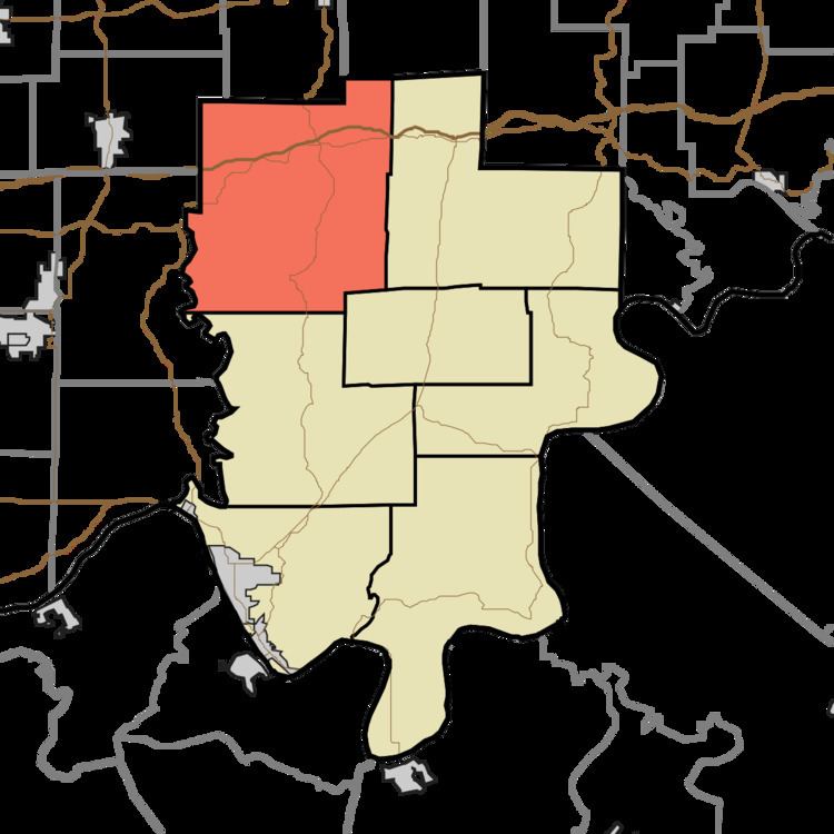
Clark Township is one of seven townships in Perry County, Indiana, United States. As of the 2010 census, its population was 1,180 and it contained 544 housing units.
Contents
- Map of Clark Township IN USA
- History
- Geography
- Unincorporated towns
- Cemeteries
- Major highways
- School districts
- Political districts
- References
Map of Clark Township, IN, USA
History
Clark Township was named for Robert Clark, a pioneer settler.
Geography
According to the 2010 census, the township has a total area of 74.84 square miles (193.8 km2), of which 74.59 square miles (193.2 km2) (or 99.67%) is land and 0.26 square miles (0.67 km2) (or 0.35%) is water.
Unincorporated towns
(This list is based on USGS data and may include former settlements.)
Cemeteries
The township contains these fourteen cemeteries: Beard, Comstock, Crooks Thom, Enlow, Fox Ridge, Hobbs, Lanman, Lasher, Mount Pleasant, Sigler, Sigler, Stapleton, Taylor and Tenn Beard.
Major highways
School districts
Political districts
References
Clark Township, Perry County, Indiana Wikipedia(Text) CC BY-SA