
 | ||
Similar Iron Horse State Park, Snoqualmie Tunnel, Snoqualmie Valley Regional, Rattlesnake Lake, Lake Easton State Park | ||
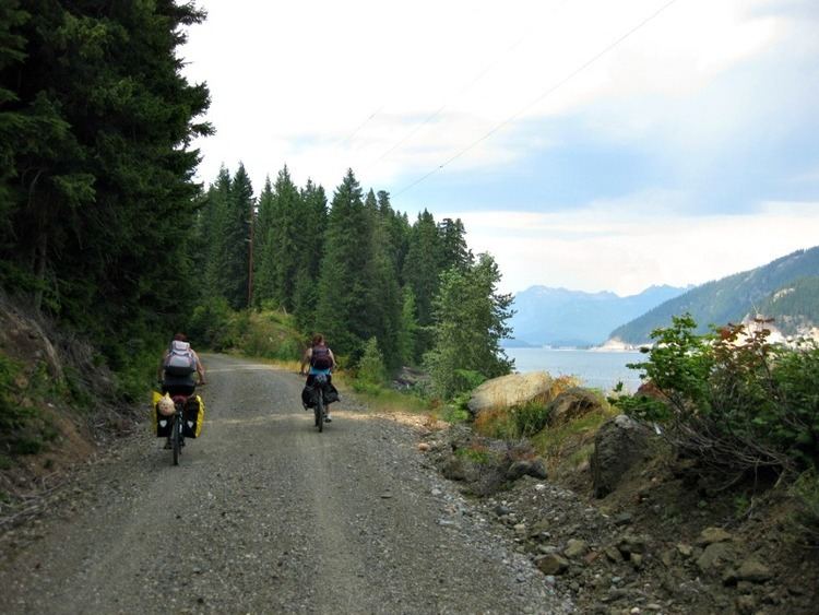
John wayne pioneer trail
The John Wayne Pioneer Trail follows the former railway roadbed of the Chicago, Milwaukee, St. Paul & Pacific Railroad (Milwaukee Road ) for 300 miles (480 km) across two-thirds of Washington from the western slopes of the Cascade Mountains to the Idaho border. The trail is named in honor of the John Wayne Pioneer Wagons and Riders Association for their assistance in creating the trail. In 2002, it was designated a National Recreation Trail.
Contents
- John wayne pioneer trail
- Map of John Wayne Trail Rosalia WA 99170 USA
- John wayne pioneer trail ytc to the columbia
- Iron Horse Park Access
- Undeveloped
- References
Map of John Wayne Trail, Rosalia, WA 99170, USA
The former Milwaukee Road roadbed was acquired by the state of Washington via a quitclaim deed, and is used as a non-motorized recreational trail managed by the Washington State Parks and Recreation Commission and by the Washington State Department of Natural Resources. State legislation "railbanked" the corridor with provisions that allow for the reversion to railroad usage in the future.
The 100-mile (160 km) portion from Cedar Falls (near North Bend) to the Columbia River south of Vantage has been developed and is managed as the Iron Horse State Park.
In 2015, two Washington state representatives from the 9th district attempted to include language in an amendment to the state's 2015 capital budget that would close a 130-mile-long (210 km) section of the trail east of the Columbia River. It was later revealed that a typo, referring to the closed section as “from the Columbia River to the Columbia River”, nullified the amendment temporarily.
John wayne pioneer trail ytc to the columbia
Iron Horse Park Access
Access points to the developed portion of the trail, managed by Washington State Parks and Recreation Commission, are at:
Undeveloped
Access points to the undeveloped portion of the trail, managed by Washington State Department of Natural Resources, have not been formally opened to the public. However the trail provides access to the unique geological erosion features of the Channeled Scablands regions of the state of Washington, and several stretches have been recognized as providing access to this area created by the cataclysmic Missoula Floods that swept periodically across eastern Washington and down the Columbia River Plateau during the Pleistocene epoch. At Malden Washington, once home to the largest railroad turntable in the world, the Parks Department is planning a trailhead in the former rail yard.