Population 0 Area 120.9 km² | Highest elevation 799 m (2,621 ft) Elevation 799 m | |
 | ||
Zone Northeast Greenland National Park | ||
John Murray Island is an uninhabited island in the far north of Greenland, in the Northeast Greenland National Park area.
Contents
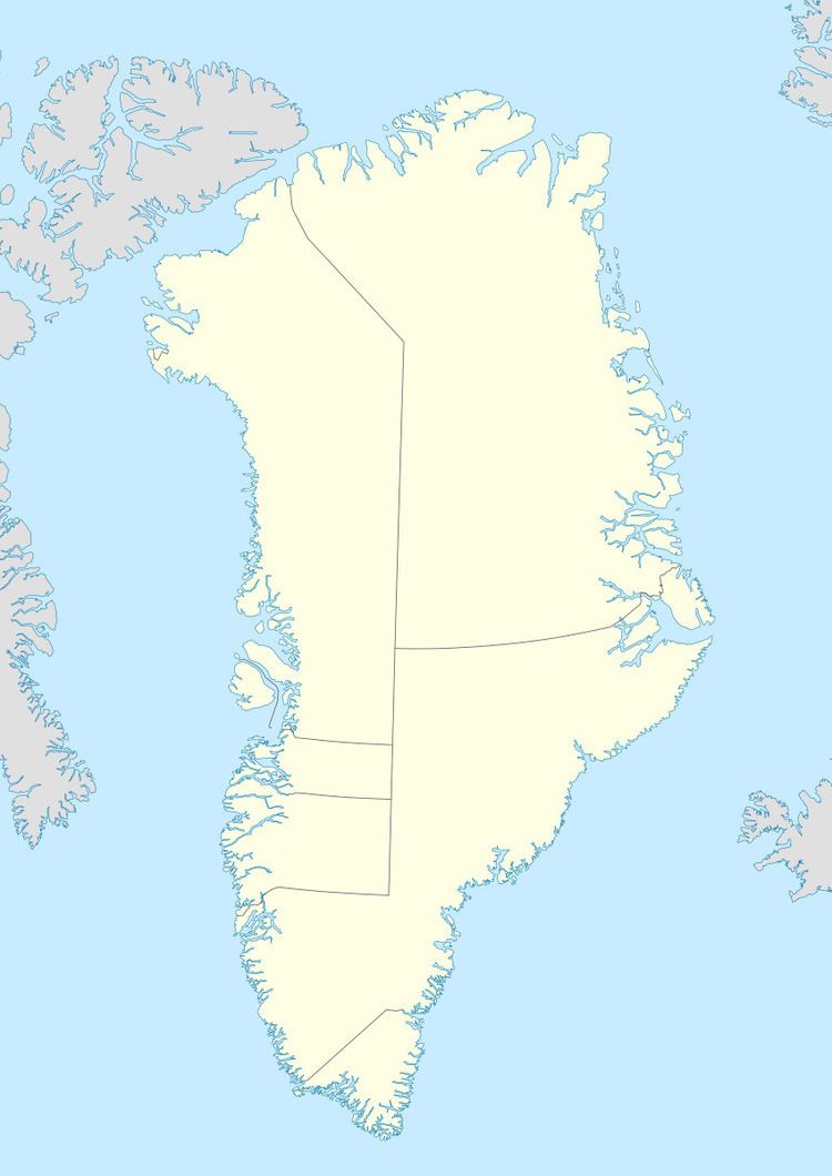
Map of John Murray O, Greenland
Geography
John Murray Island is located off the mouth of J.P. Koch Fjord in the Lincoln Sea, to the west of Sverdrup Island and to the north of Nares Land. The island has an area of 120.9 km ² and a shoreline of 43.1 kilometres.
References
John Murray Island Wikipedia(Text) CC BY-SA
