
Population 7,430 (2011) | Time zone IST (UTC+5:30) | |
 | ||
Neighborhoods Daspara, Netajinagar Block Colony, Smriti Mandir Para | ||
Jirat is a Census Town in Balagarh Block of District Hooghly.
Contents
Map of Jirat, West Bengal 712501
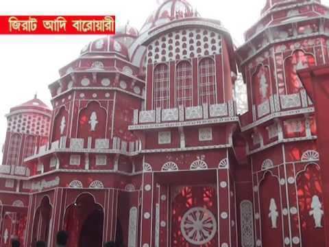
It is under Balagarh Block, the main Administrative center(Sadar) of the block. The BDO, the Gramin Hospital is in Jirat Patuligram Area. Sir Ashutosh Mukherjee, Poet Charuchandra Banerjee and Artist Anil Chaterjee's house are in Jirat Smritrimandir. Sri Sri Gapinath Jeu (Smritrimandir), Sideswari Kali, Mahakal Bairav (Kaliagarh), Darmaraj (Mundukhola) and Bura Siva Temple(Panch Para) are the oldest temples of Jirat Town. The Lions Club of Balagarh is in Jirat Bus Stand area.
Geography
Jirat is located at 23°5′54″N 88°27′42″E.
Demographics
As per 2011 Census of India Jirat had a total population of 7,430 of which 3,824 (51%) were males and 3,606 (49%) were females. Population below 6 years was 711. The total number of literates in Jirat was 5,308 (79.01 % of the population over 6 years).
Transport
Jirat is 22 km from Bandel on the Bandel-Katwa Branch Line and Chuchura to Kalna (bus route 8)
The State Highway 6 (West Bengal) passes through Jirat.