
Nearest city Visakhapatnam Elevation 42 m Local time Saturday 5:43 PM | Time zone IST (UTC+5:30) Lok Sabha constituency Srikakulam Population 2,625 (2001) | |
 | ||
Weather 28°C, Wind S at 21 km/h, 82% Humidity | ||
Jhadupudi is a small village in Kanchili mandal of Srikakulam District in Andhra Pradesh. It is located in between the small towns Sompeta and Ichchapuram.
Contents
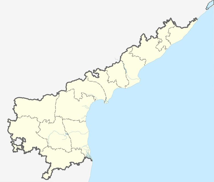
Map of Jadupudi, Andhra Pradesh
Geography
Jhadupudi is located at 19.0333°N 84.6167°E / 19.0333; 84.6167. It has an average elevation of 42 meters (141 feet).
Demographics
As of 2001 Indian census, the demographic details of Jadupudi village is as follows:
References
Jhadupudi Wikipedia(Text) CC BY-SA