
PIN 532 312 Elevation 15 m Population 36,493 (2011) | Time zone IST (UTC+5:30) Telephone code +91–8947 Area 25.28 km² Local time Friday 10:03 AM | |
 | ||
Weather 31°C, Wind S at 18 km/h, 66% Humidity | ||
Ichchapuram is a town in Srikakulam district of the Indian state of Andhra Pradesh. It is a Municipality and also the mandal headquarters of Ichapuram mandal.this town is located nearly 142 km from the district capital srikakulam.
Contents
- Map of Ichchapuram Andhra Pradesh 532312
- Geography
- Demographics
- Assembly constituency
- Transport
- Education
- References
Map of Ichchapuram, Andhra Pradesh 532312
Geography
Ichchapuram is located at the border of Andhra Pradesh and Odisha at 19.12°N 84.7°E / 19.12; 84.7. It has an average elevation of 7 metres (22 feet). The town is located on the banks of Bahuda river.
Demographics
As of 2011 census, the town had a population of 36,493. The total population constitute, 17,716 males, 18,777 females and 4,004 children, in the age group of 0–6 years. The average literacy rate stands at 71.12% with 23,105 literates.
Assembly constituency
Ichapuram is an assembly constituency in Andhra Pradesh. Bendalam Ashok is the present MLA.
Transport
APSRTC and Indian Railways connects the town to other cities like srikakulam,palasa, parlakhemundi,gunupur,Visakhapatnam, rajahmundry and Brahmapur very well.
Education
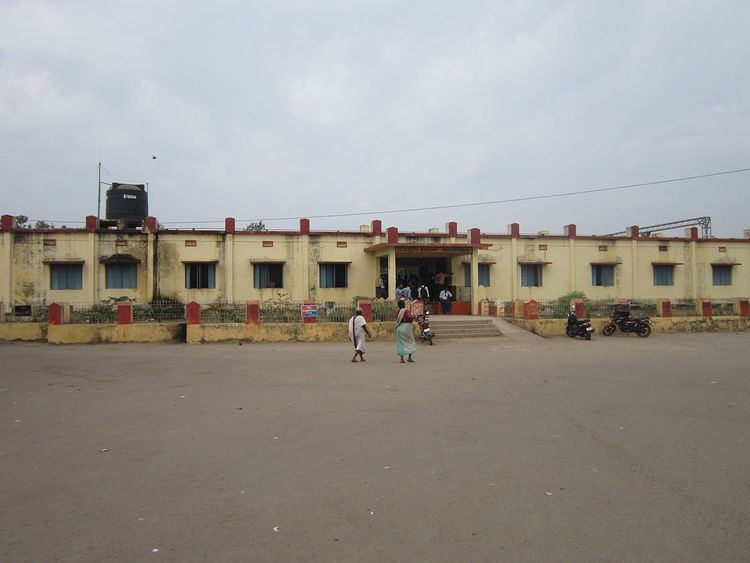
The primary and secondary school education is imparted by government, aided and private schools, under the School Education Department of the state. The medium of instruction followed by different schools are English, Telugu, Odia.