
District Hardwar Vehicle registration UK Area 90 ha Local time Saturday 5:42 PM | Time zone IST (UTC+5:30) Elevation 260 m Population 9,378 (2001) | |
 | ||
Website 210.212.78.56/jhabrera/ Weather 18°C, Wind NW at 11 km/h, 58% Humidity | ||
Rajpal singh jhabrera
Jhabrera is a town and a nagar panchayat in Hardwar district in the Indian state of Uttarakhand, situated 17 kilometres from Roorkee. It can be reached by taking a left turn before Ganga canal and while entering Manglaur town from Delhi.
Contents
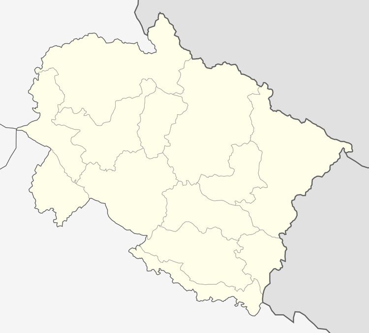
Map of Jhabrera, Uttarakhand
Jhabrera holi
Etymology
The town gets its name from the former village of "Jhabar Hera", established by Rao Bah Mal, a ‘zamindar’ during the reign of Mughal Emperor Shahjahan & Anmol.
Demographics
As of 2001 India census, Jhabrera had a population of 9378. Males constitute 53% of the population and females 47%. Jhabrera has an average literacy rate of 57%, lower than the national average of 59.5%: male literacy is 65%, and female literacy is 48%. In Jhabrera, 18% of the population is under 6 years of age.
References
Jhabrera Wikipedia(Text) CC BY-SA