
Population 369 (2011 census) Postal code 4728 | Postcode(s) 4728 Elevation 352 m Local time Saturday 12:00 PM Federal division Division of Flynn | |
 | ||
Location 1,055 km (656 mi) NW of Brisbane492 km (306 mi) W of Rockhampton222 km (138 mi) W of Emerald87 km (54 mi) E of Barcaldine | ||
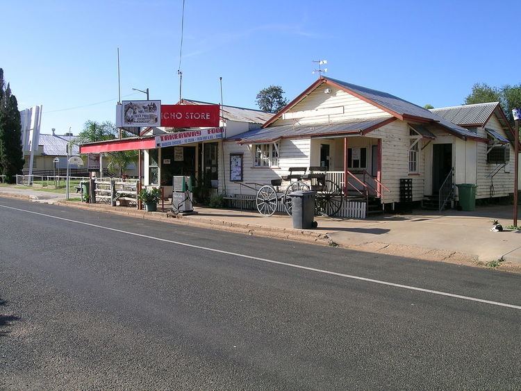
Jericho is a rural village situated on the Capricorn Highway in Central West Queensland, Australia. At the 2011 census, Jericho and the surrounding region had a population of 369.
Contents
Map of Jericho QLD 4728, Australia
History
The first exploration by Europeans was by Major Thomas Mitchell who passed through the area in 1846. By the 1850s settlers had moved in.
Jericho Post Office opened on 2 July 1885 (a receiving office had been open from 1884).
In December 2010, half of the town's houses were indundated by floods.
Jericho State School opened on 20 February, 1888.
Facilities
Jericho has a public library, drive in theatre, park, swimming pool, town hall and showground.
Tourist attractions
Crystal Trumpeters and the statue of Joshua are both located within Jericho.
References
Jericho, Queensland Wikipedia(Text) CC BY-SA