
Country Indonesia Time zone WIB (UTC+7) Province Central Java | Capital Jepara Area 27,263 km² Population 1.1 million (2008) | |
 | ||
Area code(s) +62 291 (mainland)
+62 297 (Karimun Java) Points of interest Portuguese Fort, Karimunjawa National Park, Bandengan Beach, Pantai Kartini Jepara, Kura‑Kura Ocean Park Colleges and Universities Nahdlatul Ulama Islamic U, STIE Nahdlatul Ulama Je, Akademi Kebidanan Islam Al, Sekolah Tinggi Teknologi | ||
Jepara is a regency in the northeast of the Indonesian province of Central Java. Its capital is Jepara.
Contents
- Map of Jepara Regency Central Java Indonesia
- History
- Geography
- Subdistricts
- Contemporary Jepara
- References
Map of Jepara Regency, Central Java, Indonesia
History
People believed to have come from South Yunnan region migrated into the northern tip of Java during a time when Jepara was still separated by the Juwana Strait.
In the 16th century, Jepara was an important port; in early 1513, its king, Yunnus (Pati Unus) led an attack against Portuguese Malacca. His force is said to have been made up of one hundred ships and 5000 men from Jepara and Palembang but was defeated. Between 1518 and 1521 he apparently ruled over Demak. The rule of Ratu ('Queen') Kalinyamat in the latter 16th century was, however, Jepara's most influential. Jepara again attacked Malacca in 1551 this time with Johor but was defeated, and in 1574 besieged Malacca for three months.
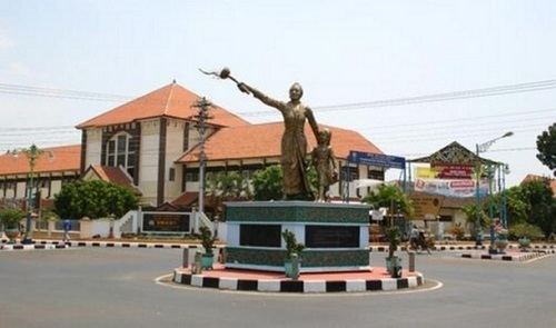
It was the site of an English Fort in the 17th century. It is the birthplace of Indonesian national heroine Kartini.
Geography
Jepara Regency is located in the northeastern coastal region of Central Java, bordering Java Sea in the north and west, Kudus Regency and Pati Regency in the east, and Demak Regency in the south. The eastern border is primarily a mountainous region, with the most notable peak being Mount Muria. The regency also include the Karimun Java archipelago, itself recognized as a subdistrict, located in Java Sea approximately 80 kilometers northwest from Jepara Regency.
Subdistricts
Jepara Regency is divided into 16 subdistricts:
Contemporary Jepara
The population is almost entirely Javanese and over 95% Muslim. As a pesisir ('coastal') area many traders from around the world landed in Jepara centuries ago. As a result, some of Jepara's resident have at part European, Chinese, Arabs, Malay or Bugis ancestry.
The town is renowned its furniture industry. The production of teak furniture, employs approximately 80,000 people in the town, working in a large number of mainly small workshops. The trade has brought considerable prosperity to Jepara, well above the average for Central Java.