
- right Mumbedah Creek - elevation 1,190 m (3,904 ft) - elevation 939 m (3,081 ft) | - location below Mount Jenolan | |
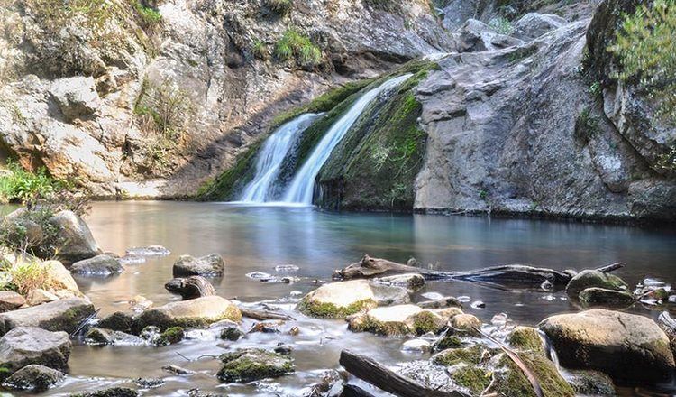 | ||
The Jenolan River, a perennial river that is part of the Hawkesbury-Nepean catchment, is located in the Central Tablelands region of New South Wales, Australia.
Contents
Map of Jenolan River, Jenolan NSW, Australia
Course and features
The Jenolan River rises below Black Mount on the eastern slopes of the Great Dividing Range southeast of Oberon, and flows generally southeast and east, joined by one minor tributary, before reaching its confluence with the Coxs River below Mount Jenolan. The river descends 80 metres (260 ft) over its 11-kilometre (6.8 mi) course.
At Jenolan Caves the river flows underground for approximately 400 metres (1,300 ft).
References
Jenolan River Wikipedia(Text) CC BY-SA