
Country United States Time zone Eastern (EST) (UTC-5) Zip code 41537 Local time Friday 5:17 PM | Incorporated January 9, 1912 Elevation 469 m Population 2,122 (2013) | |
 | ||
Named for the director of a local coal company Weather 6°C, Wind NW at 18 km/h, 32% Humidity | ||
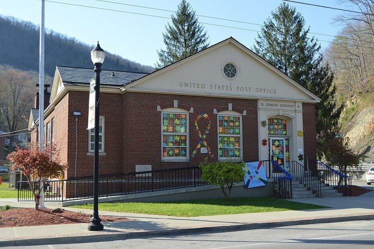
Jenkins is a home rule-class city in Letcher County, Kentucky, United States. The population was 2,203 as of the 2010 census.
Contents
Map of Jenkins, KY, USA
History
In autumn of 1911, the Consolidation Coal Company purchased the current location of Jenkins as part of a 100,000-acre tract of land in Pike, Letcher and Floyd counties from the Northern Coal and Coke Company. After the acquisition was finalized, plans were made to extend the Lexington and Eastern Railroad from Jackson to a town named McRoberts. The plans also included the establishment of the town of Jenkins for George C. Jenkins, one of the Consolidation Coal Company's directors.
Because of the need of hundreds of homes and other structures, nine sawmills and two brickyards were erected. A dynamo was built to temporarily generate power for the houses. Next, a temporary narrow-gauge railroad was built over Pine Mountain from Glamorgan, Virginia in order to carry supplies to further the development of the town. Jenkins's city government was established as soon as the businesses and land were put up for sale. The company even went as far to supply the town with its own marshals to enforce the law. Jenkins was finally incorporated as a sixth-class city on January 9, 1912.
Geography
Jenkins is located at 37°10′48″N 82°37′56″W (37.179914, -82.632148).
According to the United States Census Bureau, the city has a total area of 8.6 square miles (22 km2), of which 8.5 square miles (22 km2) is land and 0.04 square miles (0.10 km2) (0.23%) is water.
Events
Jenkins Homecoming Days is an annual festival usually celebrated in August.
Places of interest
Demographics
As of the census of 2000, there were 2,401 people, 968 households, and 671 families residing in the city. The population density was 281.2 people per square mile (108.6/km²). There were 1,122 housing units at an average density of 131.4 per square mile (50.7/km²). The racial makeup of the city was 97.96% White, 1.08% African American, 0.08% Native American, 0.33% Asian, 0.08% Pacific Islander, and 0.46% from two or more races. Hispanic or Latino of any race were 0.29% of the population.
There were 968 households out of which 31.7% had children under the age of 18 living with them, 52.9% were married couples living together, 13.2% had a female householder with no husband present, and 30.6% were non-families. 27.5% of all households were made up of individuals and 12.9% had someone living alone who was 65 years of age or older. The average household size was 2.43 and the average family size was 2.97.
In the city, the population was spread out with 25.4% under the age of 18, 8.4% from 18 to 24, 26.8% from 25 to 44, 24.7% from 45 to 64, and 14.7% who were 65 years of age or older. The median age was 38 years. For every 100 females there were 92.2 males. For every 100 females age 18 and over, there were 83.7 males.
The median income for a household in the city was $20,143, and the median income for a family was $25,985. Males had a median income of $31,087 versus $21,333 for females. The per capita income for the city was $11,358. About 24.6% of families and 29.9% of the population were below the poverty line, including 43.3% of those under age 18 and 14.6% of those age 65 or over.