
GNIS feature ID 0453494 Area 124.2 km² Population 1,129 (2010) | ZIP codes 47427, 47431, 47471 Elevation 159 m Local time Friday 2:18 PM | |
 | ||
Weather 6°C, Wind NW at 21 km/h, 33% Humidity | ||
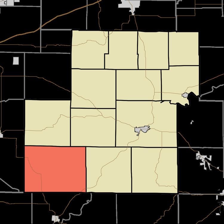
Jefferson Township is one of thirteen townships in Owen County, Indiana, United States. As of the 2010 census, its population was 1,129 and it contained 525 housing units.
Contents
- Map of Jefferson Township IN USA
- History
- Geography
- Unincorporated towns
- Cemeteries
- Major highways
- Airports and landing strips
- School districts
- Political districts
- References
Map of Jefferson Township, IN, USA
History
Jefferson Township was organized in 1828. It was named for Thomas Jefferson, third President of the United States.
Geography
According to the 2010 census, the township has a total area of 47.94 square miles (124.2 km2), of which 47.8 square miles (124 km2) (or 99.71%) is land and 0.13 square miles (0.34 km2) (or 0.27%) is water.
Unincorporated towns
(This list is based on USGS data and may include former settlements.)
Cemeteries
The township contains these six cemeteries: Bush, Fiscus, Little John, Neihart, Shouse and Winters.
Major highways
Airports and landing strips
School districts
Political districts
References
Jefferson Township, Owen County, Indiana Wikipedia(Text) CC BY-SA