
Country United States County Owen GNIS feature ID 0436560 Zip code 47427 | State Indiana Time zone Eastern (EST) (UTC-5) Elevation 161 m Area code 812 | |
 | ||
Weather -2°C, Wind NW at 10 km/h, 52% Humidity | ||
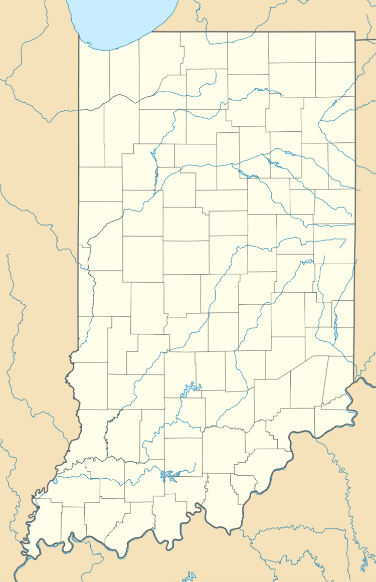
Hubbell is an unincorporated community in the southwestern corner of Jefferson Township, Owen County, Indiana, United States. It lies near the intersection of County Road 750 South (aka Hubbell Station) and Indiana Highway 157, which is a community nearly twenty miles southwest of the city of Spencer, the county seat. Its elevation is 528 feet (161 m), and it is located at 39°10′59″N 87°0′44″W (39.1830989 -87.0122322). This community is also known as Hubbells Station.
Contents
History
A post office was established at Hubbell in 1881, and remained in operation until 1883. Mary E. Hubbell served as the postmaster.
Geography
School districts
Political districts
References
Hubbell, Indiana Wikipedia(Text) CC BY-SA