
Country United States County Logan FIPS code 39-38682 Elevation 365 m Population 2,946 (2000) | Time zone Eastern (EST) (UTC-5) GNIS feature ID 1086484 Local time Friday 2:16 PM Area code 937 | |
 | ||
Weather -1°C, Wind NW at 27 km/h, 48% Humidity Area 97.12 km² (96.87 km² Land / 26 ha Water) Points of interest Mad River Mountain, Campbell Hill, Avalanche Tubing Park | ||
Jefferson Township is one of the seventeen townships of Logan County, Ohio, United States. The 2000 census found 2,946 people in the township.
Contents
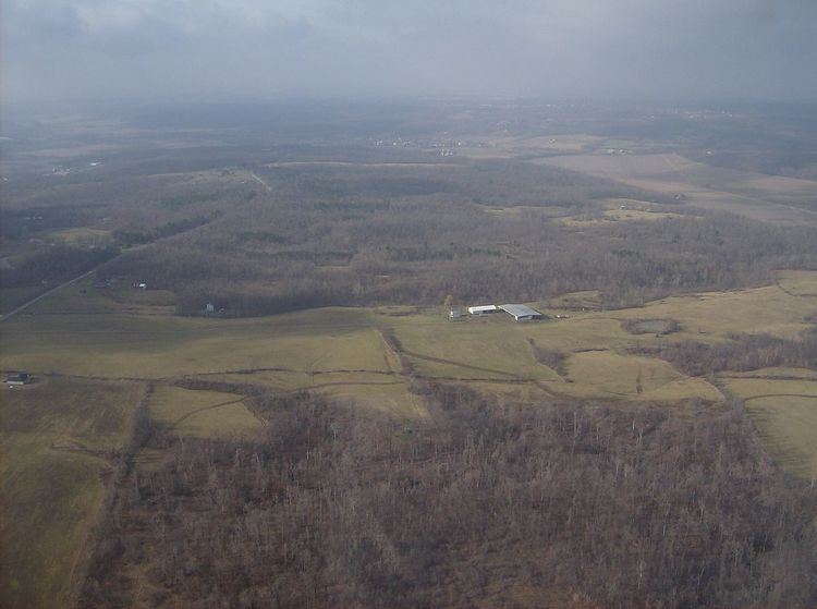
Map of Jefferson Township, OH, USA
Geography
Located in the eastern part of the county, it borders the following townships:
Several municipalities are located in Jefferson Township:
Compared with most of western Ohio, Jefferson Township is quite hilly. Campbell Hill, the highest point in Ohio, is located inside the Bellefontaine city limits in western Jefferson Township. On the other hand, the Marmon Valley, which extends through the southern part of the township, is a small pass through the Bellefontaine and Bristlecone Ridges. The same forces that shaped the township's terrain also created Zane Shawnee Caverns, a cave system in the northeastern part of the township.
As a result of its hilly topography, Jefferson Township contains the source of the Mad River, and a ski resort — unusual for western Ohio — is located near Valley Hi in the southern part of the township.
Name and history
It is one of twenty-four Jefferson Townships statewide.
Jefferson Township was formed in 1813 from Zane Township. It was one of the earliest parts of Logan County to be settled: its first settler was Isaac Zane, who arrived in 1800 and built the first house in what is now Zanesfield in 1811, and the Marmons who arrived in the township in 1805 were the first white families to live in the county. Because a significant percentage of the early settlers were Quakers, the township was once home to a large number of African Americans. Today, the township is the location of Goshen Friends Church, the oldest church in Logan County, and of the Martin Marmon House, one of the best examples of early nineteenth-century Quaker architecture in Ohio.
Government
The township is governed by a three-member board of trustees, who are elected in November of odd-numbered years to a four-year term beginning on the following January 1. Two are elected in the year after the presidential election and one is elected in the year before it. There is also an elected township fiscal officer, who serves a four-year term beginning on April 1 of the year after the election, which is held in November of the year before the presidential election. Vacancies in the fiscal officership or on the board of trustees are filled by the remaining trustees.
In the elections of November 2007, Michael Kenoyer defeated two other candidates in the election for the position of township trustee.
Transportation
U.S. Route 33 is the most important highway in Jefferson Township. Other significant highways include State Routes 47, 292, 533, and 540.