
Country United States Elevation 311 m Local time Tuesday 8:54 PM | GNIS feature ID 0478336 Area 110.8 km² Population 1,408 (2000) | |
 | ||
Weather 11°C, Wind NE at 19 km/h, 93% Humidity | ||
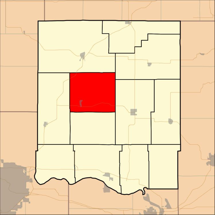
Ozawkie Township is a township in Jefferson County, Kansas, USA. As of the 2000 census, its population was 1,408.
Contents
- Map of Ozawkie KS USA
- Geography
- Cities and towns
- Unincorporated towns
- Adjacent townships
- Cemeteries
- Major highways
- References
Map of Ozawkie, KS, USA
Geography
Ozawkie Township covers an area of 42.78 square miles (110.79 square kilometers); of this, 5.45 square miles (14.11 square kilometers) or 12.74 percent is water. The streams of Bowies Branch, Duck Creek, Fishpond Creek and French Creek run through this township.
Cities and towns
Unincorporated towns
(This list is based on USGS data and may include former settlements.)
Adjacent townships
Cemeteries
The township contains one cemetery, Fairview.
Major highways
References
Ozawkie Township, Jefferson County, Kansas Wikipedia(Text) CC BY-SA