
- elevation 230 m (755 ft) Basin area 3,638 km² | - elevation 0 m (0 ft) | |
 | ||
- location northwest of Hope Vale and west of Starke - location adjacent to Howick Island | ||
2012 jeannie river or starcke
The Jeannie River is a river located in Far North Queensland, Australia.
Contents
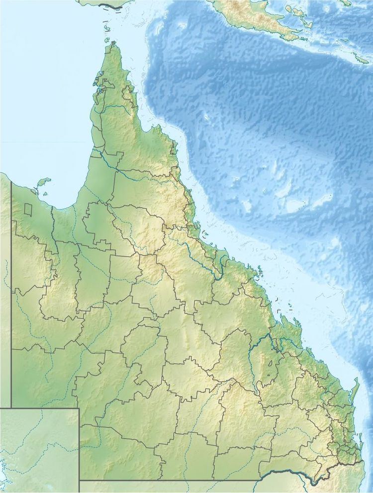
Map of Jeannie River, Starcke QLD, Australia
The headwaters of the river rise in the Great Dividing Range in the northern portion of the Cape York Peninsula in Kalpowar Aboriginal Land northwest of Hope Vale and west of Starke. The river flows in a north easterly direction through mostly uninhabited country past Lagoon Prospect and then enters the Cape Melville National Park and eventually discharging into the Coral Sea almost adjacent to Howick Island. The river descends 230 metres (750 ft) over its 43-kilometre (27 mi) course.
The river has a catchment area of 3,638 square kilometres (1,405 sq mi) and takes in the wild rivers of the Jeannie, the Howick and Starke, of which an area of 175 square kilometres (68 sq mi) is composed of estuarine wetlands.