
Vehicle registration RJ21 Elevation 296 m Area code 911583 | Time zone IST (UTC+5:30) Spoken languages Hindi, Rajasthani, Population 17,000 (2011) | |
 | ||
Jayal is a census town in the Nagaur district of Rajasthan state. The Town is located 50 km away from Nagaur. It is also the tehsil and block headquarters.
Contents
Map of Jayal, Rajasthan 341023
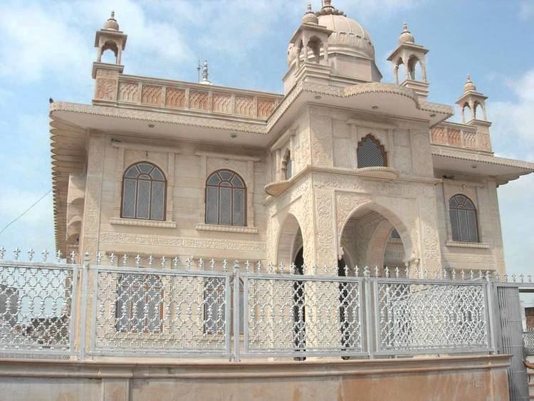
There is the oldest temple in the district called Dadhimati Temple, also known as Goth-Manglod temple. The temple was constructed during the Gupta Dynasty in 4th Century. Dadhimati is the Kul Devi of Dadhich Brahimins.
There is a temple of Goddess Santoshi constructed in the year 2006.It is located near the Maheshwari Bhawan. There is also an another temple of Goddess Kalka Mata(kali ma, kuldevi of Dukiya).Its constructed by Dukiya's(JAT).
Geography
Jayal is located at 27.2167°N 74.1833°E / 27.2167; 74.1833. It has an average elevation of 296 metres (974 feet).
Demographics
As of 2001 India census, Jayal had a population of 12,218. Males constitute 6,258 of the population and females 5,960.