
Elevation 354 m (1,161 ft) | Microregion Iporá Microregion Time zone BRT/BRST (UTC-3/-2) | |
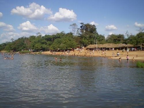 | ||
Jaupaci is a municipality in eastern Goiás state, Brazil. The population was 2,998 (2007) in a total area of 527.2 km² (10/10/2002).
Contents
- Map of Jaupaci State of GoiC3A1s Brazil
- Location
- The economy
- Education 2006 and Health 2007
- History
- References
Map of Jaupaci - State of Goi%C3%A1s, Brazil
Location
Neighboring municipalities: Iporá, Fazenda Nova, Diorama, Montes Claros de Goiás, and Israelândia.
The economy
The economy is based on modest commerce, public employment, modest transformation industries, cattle raising, and agriculture. There is one dairy—JAU - Indústria de Laticínios Ltda. (22/05/2006). There were 35,400 head of cattle in 2006. The main crops were rice, corn, manioc, soybeans, and tomatoes. Most of the land is occupied by pasture for cattle raising.
Agricultural data 2006
Education (2006) and Health (2007)
For the complete list see Frigoletto.com.br
History
The history of Jaupaci begins in the 1950s when diamonds were discovered in the region. Panhandlers arrived and settled on lands belonging to João Paraíba, who already lived there. The population increased and the first general stores appeared to cater to the miners. The settlement was called Monção do Pacu, after a diamond mining site. In 1958 it became a municipality, without being a district first, and changed to the name to Jaupaci, after the three rivers that cross its territory—Jau, Pacu, and Cipó.