
Elevation 506 m (1,660 ft) | Microregion Aragarças Microregion Time zone BRT/BRST (UTC-3/-2) | |
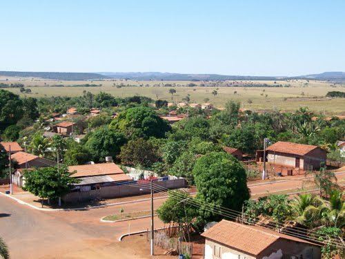 | ||
Diorama is a municipality in eastern Goiás state, Brazil.
Contents
- Map of Diorama State of GoiC3A1s Brazil
- Location and Connections
- The economy
- Education and health
- History
- References
Map of Diorama - State of Goi%C3%A1s, Brazil
Location and Connections
Diorama is 254 kilometers west of the state capital, Goiânia, and is 30 kilometers west of the regional center, Iporá. Neighboring municipalities are Montes Claros de Goiás, Arenópolis, Iporá, and Israelândia.
Highway connections from Goiânia are made by GO-060 / Trindade / Nazário / São Luís de Montes Belos / Israelândia / Iporá / GO-174.
The economy
The economy is based on agriculture, livestock raising, and wood processing. In 2007 there were 2 small transformation industries and 24 commercial units. There were 59,000 head of cattle. Agricultural production was modest with small areas of rice, bananas, beans, sugarcane, corn and soybeans.
Agricultural data 2006
Education and health
History
Settlement began in 1946 on lands belonging to the municipality of Iporá. A local rancher, Edmundo Benuto Dias donated land for a new settlement, which was called "Aropi", the inversion of the name "Iporá". In 1954 it was elevated to the category of district with the new name of Mendelândia, after Antônio Mendes, one of the pioneers of the region. In 1955 the name was changed to Diorama, of unknown origin. In 1958 it became a municipality.