
Area 17,193 km² | Elevation 264 m Local time Friday 9:25 AM | |
 | ||
Country People's Republic of China Weather 2°C, Wind NW at 6 km/h, 41% Humidity | ||
Jarud Banner (Mongolian: ᠵᠠᠷᠤᠳ ᠬᠣᠰᠢᠭᠤ Жаруд қосиу Jarud qosiɣu; simplified Chinese: 扎鲁特旗; traditional Chinese: 扎魯特旗; pinyin: Zālǔtè Qí) is a banner of eastern Inner Mongolia, People's Republic of China. It is under the administration of Tongliao City, 150 kilometres (93 mi), and the China National Highway 304 passes through the area.
Contents
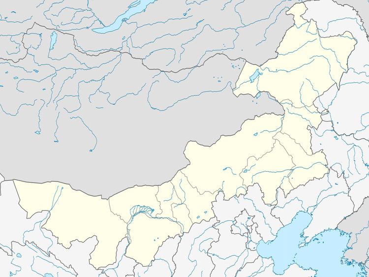
Map of Jarud, Tongliao, Inner Mongolia, China
Climate
Jarud Banner has a monsoon-influenced, continental semi-arid climate (Köppen BSk), with very cold and dry winters, hot, somewhat humid summers, and strong winds, especially in spring. The monthly 24-hour average temperature ranges from −12.6 °C (9.3 °F) in January to 23.9 °C (75.0 °F) in July, with the annual mean at 6.58 °C (43.8 °F). The annual precipitation is 383 millimetres (15.1 in), with more than half of it falling in July and August alone. There are 2,883 hours of bright sunshine annually, with each of the winter months having over two-thirds of the possible total, and this percentage falling to 54 in July.