
Population (2008) 520 Local time Friday 1:06 AM | Canton Jarnages Area 9.17 km² Arrondissement Guéret | |
 | ||
Intercommunality Carrefour des Quatre Provinces Weather 8°C, Wind E at 2 km/h, 89% Humidity | ||
Jarnages is a commune in the Creuse department in the Nouvelle-Aquitaine region in France.
Contents
Map of 23140 Jarnages, France
Geography
A farming village situated some 10 miles (16 km) east of Guéret, at the junction of the D65, D13 and the D990. The N145 road forms the northern border of the commune.
History
The origins of Jarnages go back a long way. During the Gallo-Roman period it was known as Agarrusacum. In the Middle Ages, its royal châtelain was Bertrand d'Armagnac, Count de la Marche, who had it fortified in 1434. In the 16th century, Jarnages had a certain importance as a Protestant stronghold, but the Governor of the Marane retook it in 1691.
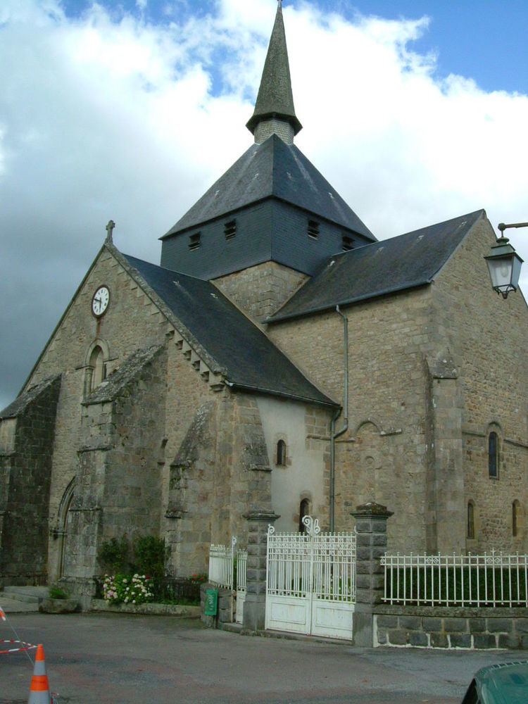
Sights
References
Jarnages Wikipedia(Text) CC BY-SA