Rahul Sharma (Editor)

Japan National Route 37

Updated on
Edit
Like
Comment
Share on FacebookTweet on TwitterShare on LinkedInShare on Reddit
Length
  
81.1 km

Major cities
  
Date

Japan National Route 37

Highway system
  
National highways of Japan

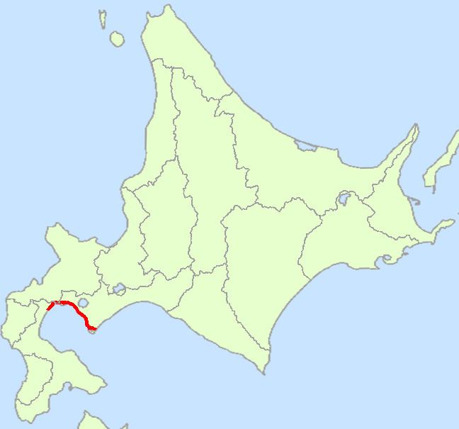
National Route 37 is a national highway connecting Oshamanbe and Muroran in Hokkaidō, Japan.

Contents

Map of Japan, Hokkaid%C5%8D, %E5%9B%BD%E9%81%9337%E5%8F%B7%E7%B7%9A

Route Data

  • Length: 81.1 km (50.4 mi)
  • Origin: Oshamanbe, Hokkaido (originates at junction with Route 5)
  • Terminus: Muroran, Hokkaido (ends at junction with Route 36)
  • Major cities: Date
  • History

  • 1952-12-04 - First Class National Highway 37 (from Oshamanbe to Muroran)
  • 1965-04-01 - General National Highway 37 (from Oshamanbe to Muroran)
  • Overlapping sections

  • From the origin to Toyako Town (Irie intersection): Route 230
  • Municipalities passed through

  • Oshima Subprefecture
  • Oshamanbe
  • Shiribeshi Subprefecture
  • Kuromatsunai
  • Iburi Subprefecture
  • Toyoura - Toyako - Date - Muroran
  • Intersects with

  • Oshima Subprefecture
  • Route 5; at the origin, in Oshamanbe Town
  • Shiribeshi Subprefecture
  • Iburi Subprefecture
  • Route 230; at Toyako Town
  • Route 453; at Date City
  • Route 36; at the terminus, in Muroran City
  • Bypass

  • Iburi Subprefecture
  • Hakuchō Shindō (Hakuchō Bridge); at Muroran City
  • References

    Japan National Route 37 Wikipedia